WEITERE INFORMATIONEN ÜBER mdMAPPER1000+
Untertitel: Englisch | Französisch | Spanisch | Deutsch | Arabisch
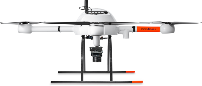
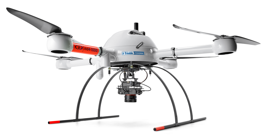
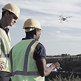
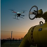
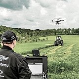
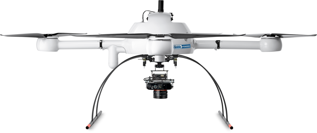
Bei diesem Paket dreht sich alles um Belastbarkeit, Komfort und Rundumleistung. Das UAV md4-1000 kann intensiven Umweltbedingungen standhalten, von starken Winden und Magnetfeldern bis hin zu hohen Temperaturen und Spannungen. Außerdem verfügt es über die längsten Flugzeiten auf dem Markt. Außerdem ist es erweiterbar auf modernere Geomatiktechnologie wie PPK und DG, wenn Sie es sind!


| mdMapper1000+ | ||
|---|---|---|
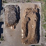
| Flugparameter | Abgedeckte Oberfläche (bei 120 m) (1) | 60 ha (148 ac) |
| Kameramodell (2) | Sony RX1R II | |
| Bildformat | RAW + JPEG | |
| G.S.D. cm/pixel (bei 120 m) | 1,6 cm | |
| G.C.P. | Ja | |
| Überlappungen (vorne/seitlich) | 80% / 60% | |
| Nachbearbeitung | Methode | Aerotriangulation |
| Ausrichtung | Während der Aerotriangulation berechnet | |
| Position | Vom Hochgenauigkeitssensor (GNSS) des UAV | |
| Genauigkeit | Hängt von der Genauigkeit und Verteilung des Bodenpasspunktes (GCP) ab. | |
| Vorteile | Kartierung großer Bereiche |