The latest LP360 release provides more options to export your data
In our continuous effort to enhance your experience with LP360 3D Photogrammetry and LiDAR Processing Software, we are pleased to introduce a new feature in our latest release, version 2023.3 – the LandXML Export tool. This tool allows users to transfer surface data into downstream CAD workflows, such as Civil 3D, by creating LandXML files directly within LP360.
Watch the video to witness how seamlessly LP360's LandXML Export feature integrates into your workflow, providing a smooth transition from point clouds to CAD environments.
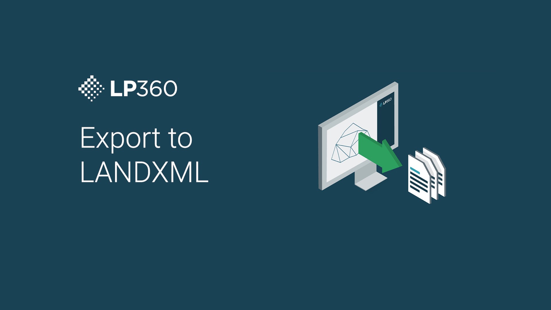
LandXML: Bridging the Gap in CAD Workflows
In LP360 version 2023.3, users can now export surfaces seamlessly as LandXML files. LandXML, a widely adopted format, serves as a bridge between different software tools in the CAD environment, particularly Civil 3D and similar packages. This new feature allows users to generate LandXML files directly within LP360, simplifying the transfer of surface data downstream into their preferred CAD workflows.
Workflow Video: A Quick Dive into LP360's LandXML Export
The tool's simplicity is one of its standout features. In the above workflow video, we demonstrate how to use the LandXML Export feature with data collected from our test site in Huntsville, utilizing a TrueView 3D Imaging System. The dataset, consisting of just under 5 million points, has been efficiently processed with the point cloud classified to showcase both the ground surface and above-ground features.
As mentioned in the video, LandXML is a popular but relatively older and heavy format. To address potential challenges with large file sizes, LP360 provides users with the flexibility to control the data output based on downstream tool requirements. The key to managing file size lies in the thinning the point cloud task, and LP360 has a number of options to help thin points and optimize data transfer without compromising accuracy.
By incorporating LandXML Export into LP360, we aim to provide users with a comprehensive solution that not only simplifies their workflow but also allows for customization according to specific project needs. The ability to export LandXML directly within the software streamlines processes, saves time, and ensures data integrity throughout the CAD workflow.
For more information on how to get started with LP360, schedule a meeting with one of our software experts today.