
There is a lot of waste in construction, including both materials and time. In fact, the American Institute of Architects estimates building-related waste contributes 25% to 40% of America’s solid-waste stream. With construction spending in the U.S. totaling $1.13 trillion in 2016, those losses translate to more than $160 billion in waste.
What does all this mean? There is a tremendous opportunity to save money, since even small gains in efficiency can translate to very meaningful savings. Integrated drone mapping packages can help. Construction pros around the world are quickly learning that using Microdrones’ complete mdMapper solutions can help them reduce waste, while saving time and money.
Microdrones’ mdMapper packages offer everything construction companies need to get started. This innovative solution makes it easy for industry professionals to achieve the following:
Create detailed orthophotos, maps, and 3D models
Conduct surveys before, during, and after construction
Provide more accurate project estimates
Direct georeferencing systems, such as the mdMapper1000 DG can precisely map corridor projects such as roads, canals, pipelines, and other linear infrastructure in one line of flight. As a project continues, drones can efficiently monitor progress and track volumes and stockpiles. Construction pros can create real-time project overviews and share them with colleagues for better safety, planning, and collaboration. This translates to improved job tracking, which reduces labor and materials waste. Adding inspection accessories, such as the Microdrones +i accessory package, empowers construction companies a way to inspect structures and job sites quickly, safely, and accurately. Best of all, it can be done without shutting down equipment or pausing work within the survey area.
Construction pros choose Microdrones mdMapper packages because its quadcopter design provides exceptional control, allowing the aircraft to automatically turn at job site boundaries. In addition, mdMapper’s industry-leading flight times mean less stopping, leading to greater efficiency and faster results. And because mdMapper is built on the Microdrones aircraft platform, resistance to challenging weather—like wind, rain, and snow—allows pros to stay on schedule.
“For our construction customers, we feel a quadcopter offers the highest value and most flexibility. You need enough control to be able to stop at the boundaries of the project site so your aircraft doesn’t fly over other structures, land, and people. Microdrones systems are great for that – and they also have long flight times, excellent stability, great resilience in bad weather, and they’re very efficient.”
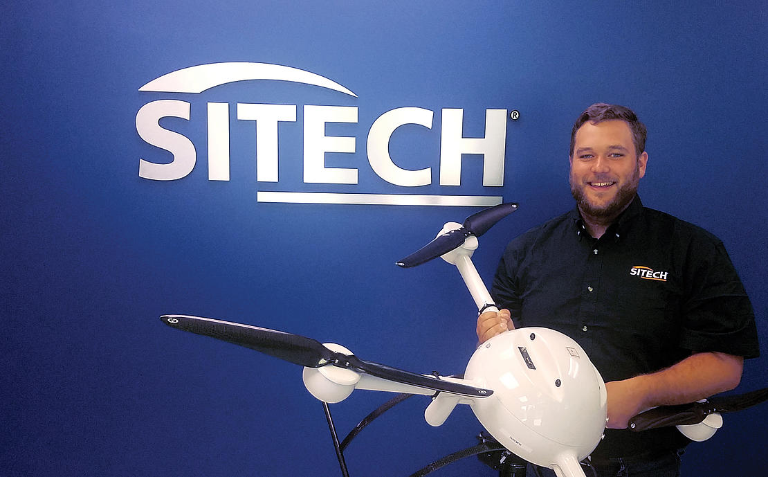
Matt Rosenbalm
UAS / ADVANCED TECHNOLOGY SPECIALIST, SITECH SOUTH
Matt Rosenbalm, UAS / Advanced Technology Specialist for SITECH South says, “I’ve flown many job sites so far with the md4-1000, and each flight has been a great experience. Flight planning and implementation are easy. Everyone has been impressed and very pleased with the results.”
With Microdrones, you own and control all your data from the moment you collect it. That makes mdMapper a solid investment for both the short- and long-term. Steve Richter, Vice President of Sales and Marketing at Frontier Precision says, “The mdMapper1000 package offers considerably higher value than our customers are used to seeing for a commercial-grade, multi-rotor UAS.”
Drones are more economical to fly than manned aircraft, faster than ground based surveying techniques, and they therefore fill an important gap in the geospatial professional’s needs. With the right computing tools, builders can turn sensor data into 3D structural models, topographical maps, and volumetric measurements. That capability allows construction companies to efficiently deploy resources around a job site, minimize potential issues, trim costs, and limit delays, delivering a quicker return on investment.
To learn more about our construction applications, click here.