
IN THIS EPISODE OF GEOSPATIAL GENIUS, SEE HOW JORDAN, MCGEHEE USES LP360 SOFTWARE TO PROCESS DRONE SURVEY DATA FROM A THICKLY COVERED FOREST.
For nearly two decades, GIS professionals have relied on the trusted expertise of LP360. This remarkable software effortlessly extracts valuable information and produces impressive deliverables within a user-friendly GIS environment.
Geospatial Genius highlights industry experts who harness the power of LP360 to process their drone LiDAR data. Each episode dives into the numerous benefits and advantages of the software, while professional users share their invaluable tips and reveal their favorite features.
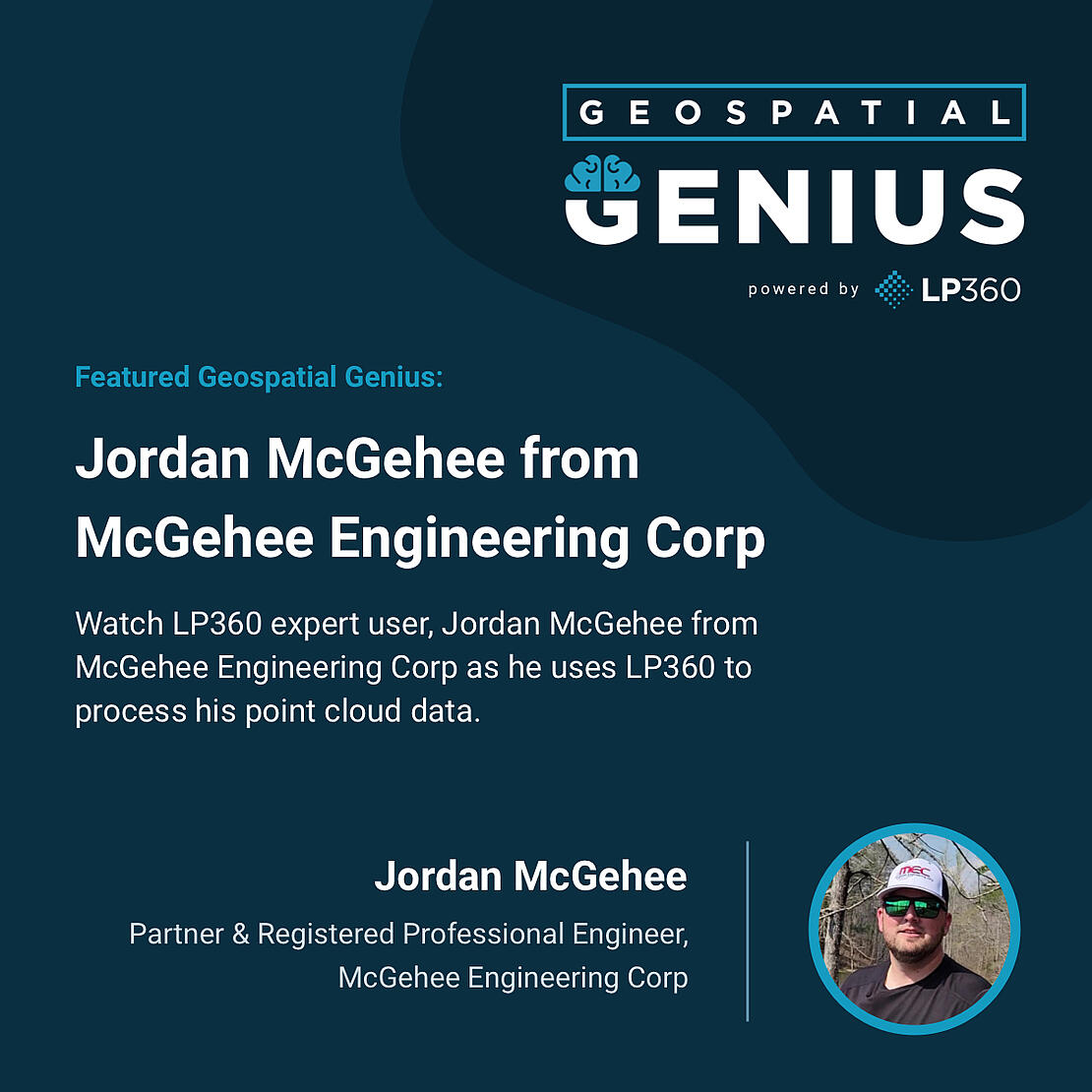
In our latest episode, our featured expert user, Jordan McGehee, a Partner with McGehee Engineering Corp and Registered Professional Engineer, uses LP360 Drone software to process, analyze, and maximize drone survey data. Here, Jordan explains how LP360 can help analyze LiDAR data and penetrate thick canopy on a steep and challenging project.

Jordan McGehee, a professional engineer with McGehee Engineering demonstrates how drone lidar, particularly the cutting-edge TrueView 515 sensor and LP360 processing software, can ‘bust through” thick canopy, get effective ground coverage, and create highly accurate deliverables.
“Drone Lidar is basically our canopy Buster,” explains Jordan. “For any of our sites where we have extreme canopy, the TrueView LiDAR is the tool that we turn to. We don’t have any other sensors that can compete with TrueView and the classification with the LP360 just makes it even easier.”
With extreme precision and unmatched density, the TrueView lidar data captures hundreds of millions of points in even the most challenging canopy environments. Then, through a seamless process, the LP360 software extracts the ground points and creates an incredibly detailed and accurate representation of the terrain, even in the most challenging landscapes.
TrueView 3D Imaging systems and LP360 software help Jordan and his team complete their projects and deliver accurate results for their customers. Jordan recommends using the products to deliver superior results. “I believe 100% LP360 makes the classification steps seamless and allows us to give a very accurate and very efficient product to our clients.”
Learn more about our LP360 LiDAR & photogrammetry 3D point cloud software or schedule a time to meet with one of our sales representatives today to add LP360 to your workflow.