As you may already know, this week we announced a partnership that we’re really excited about: Microdrones is now Trimble’s preferred provider of VTOL aircraft. Our team is honored and eager to assist industry professionals interested in using drones to be more productive and competitive.
This move is about more than distributorship. It’s part of one of our major missions as a company, which is to make it easier for businesses to get started with using drones.
Beyond the Trimble agreement, we’re working to make commercial UAVs more accessible in other ways, too. For instance, we recently released four complete, ready-to-use aerial mapping packages that bundle everything surveyors, mappers, engineers, and agronomists need to begin using drones on the job.
Here’s what our Business Development Director, Mike Hogan, had to say about that: “Our new mdMapper packages simplify the process by combining appropriate industry-leading UAVs with the best sensors, cameras, and other equipment needed for specific applications. On top of that, individual packages were designed to deliver benefits that speak to customers’ key business objectives. Some companies need an affordable, compact, robust drone and the mdMapper200 provides that. Other companies need to drastically improve their efficiency and the direct georeferencing capabilities of mdMapper1000DG and -3000DG accomplish that.”
The recently released packages (mdSOLUTIONS) include:
mdMapper200: Compact but robust, the md4-200 aircraft at the heart of this solution is lightweight and easy to transport – yet tough enough to stand up to rough weather and daily use. mdMapper200 is a reliable, professional solution that allows surveyors to map up to 30 hectares (74 acres) in one flight. It is integrated with a lightweight 20.1 megapixel camera and Nadir mount. www.Microdrones.com/mdmapper200
mdMapper1000: Featuring the Microdrones md4-1000 to cover more area per flight, users enjoy the longest flying time (30-45 minutes, depending on conditions) and stability on the market, as well as resistance to rough winds, harsh weather, hot temperatures, high voltage fields, and strong magnetic fields. It is integrated with a 24 megapixel camera and Nadir mount. www.Microdrones.com/mdmapper1000
mdMapper 1000DG: Direct georeferencing technology sets a new standard of efficiency. With mdMapper1000DG, surveyors achieve the highest level of data accuracy possible using fewer ground control points – or no ground control points at all and less overlap. Cover up to 90 hectares (223 acres) in one flight. It is integrated with a 42.4 megapixel camera and Nadir mount. www.Microdrones.com/mdmapper1000dg
mdMapper 30000DG: This UAV can fly quicker, reach higher, and carry more. With a flight time up to 45 minutes, a payload of 3,000 – 7,000 grams (6.5 – 15 pounds), this solution opens up an entire new world of flexibility and opportunity. It is integrated with a true medium-format camera with up to 100 megapixel performance, direct georeferencing technology and a Nadir mount. www.Microdrones.com/mdmapper3000dg
Optional Accessory Kits: Complementing the above packages are optional accessory kits that help professionals broaden their capabilities on site, or to expand their services to serve new markets. www.Microdrones.com/mdmapper-accessories
+m (multi-spectral imaging): captures five spectral bands for precision agriculture applications
+t (thermal mapping): captures thermal data to detect heat issues in agriculture, environment, solar panels, or infrastructure inspection applications
+i (inspection feature): transforms your mdMapper1000 into a powerful visual inspection tool for buildings and infrastructure
Free Post-Processing Offer
In addition to the Trimble agreement and these new solutions, we also recently announced a free post-processing offer. Anyone who e-mails the Microdrones team a commercial mapping or surveying question will receive 60 acres (or 24 hectares) of free post-processing. No purchase is necessary to take advantage of this offer, and all are welcome to participate – even if you’re using a competitor’s UAS.*
(To participate in this post-processing offer, simply e-mail your surveying or mapping question to offer@Microdrones.com.)
Mike Hogan explains our reason for this offer: “Our post-processing offer is really our company’s way of extending an offer to help. It benefits us in the long run to educate companies who potentially could use drones, whether they use our drones or not. The commercial UAV industry is brand new, so we want to improve general understanding of how drones can be utilized for business and what the benefits of doing so are. Even more, we want to empower individuals and businesses with knowledge that will help them be more profitable and competitive.”
Currently, hundreds of companies worldwide rely on Microdrones commercial UAVs. With the recent passage of the Federal Aviation Administration’s Part 107, which loosened restrictions on commercial drone use, the technology is expected to be adopted rapidly across the United States. Our team is prepared to bend over backwards to help companies learn and make good decisions.
“We’re working hard to make it easy to make UAVs a part of your business,” said Mike Dziok, Microdrones Marketing Director. “Our partnership with Trimble is an exciting leap in the right direction toward achieving that larger goal. Between distribution, packages, useful technology, accessible price points, and our genuine desire to help, we’re proud to be able to provide everything businesses need to get up and running with drones.”
Have a question? Want to discuss an mdMapperPackage? Thoroughly overwhelmed and don’t know where to begin?
Contact one of our UAV experts. They’ll be happy to walk you through your options and help you figure out which approach is best for your business.
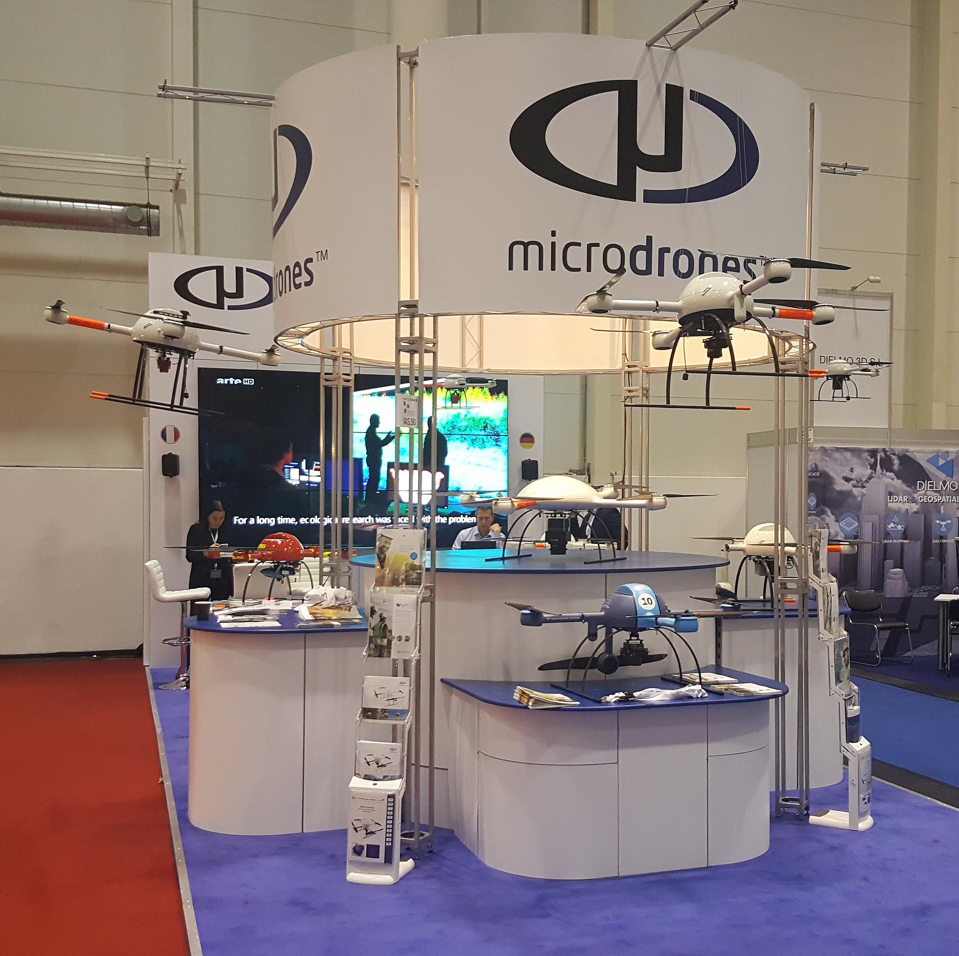
Attending InterGEO? Stop by our booth- Hall 2; #IAS.50. Our team will be waiting to discuss your goals and challenges and show you our aircraft.
* Images should be provided geotagged with sufficient overlap. Please contact us prior to your flight if you want further information. Microdrones management reserves the right at its sole discretion to refuse this offer if your application is not relevant to commercial surveying/ mapping, or if your existing data/photos are incompatible with our capabilities.