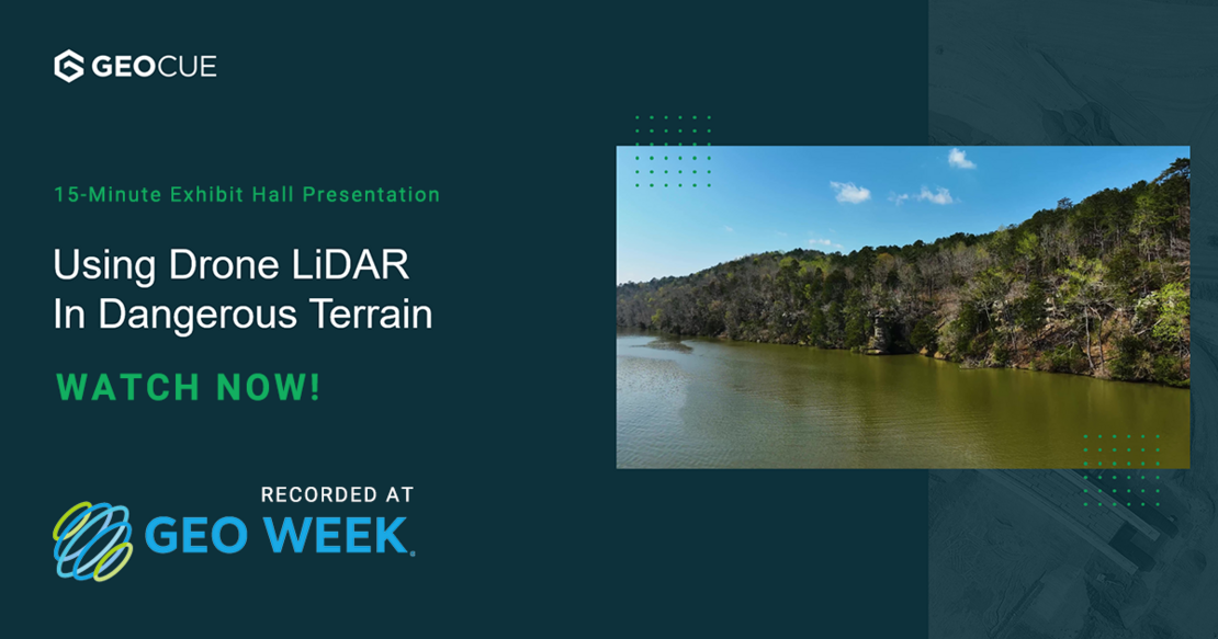
Learn about the benefits and deliverables of using drone LiDAR in Challenging survey projects
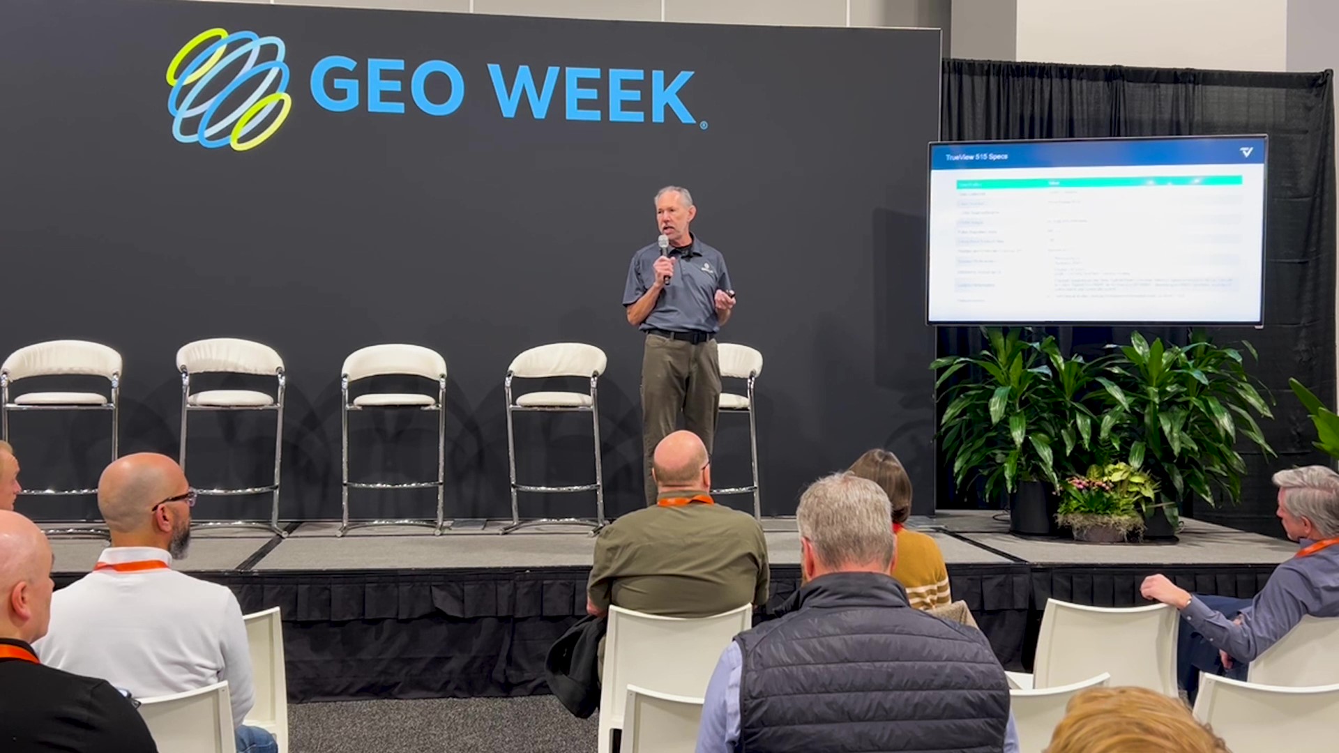
Did you miss our Geo Week Exhibit Hall presentation? Watch it here! Join Chuck Snow, our Eastern US Sales Representative, in this insightful video as he walks through a challenging project utilizing drone LiDAR technology. Discover how McGehee Engineering tackled steep terrain, thick canopy, cliffs, water, and a large area survey with efficiency and precision. Learn about the benefits, deliverables, and the streamlined process of processing LiDAR data using LP360. See how drone LiDAR brings maximum efficiency to your surveying projects, saving you valuable time and resources. Click the image below to watch now!
Drone LiDAR is revolutionizing the way we work, such as creating 3D accurate models and allowing companies to digitize assets like never before. The TrueView product series, from our sister company GeoCue, uses a common hardware and software foundation for a family of sensors. The TrueView solution offers innovative drone LiDAR and photogrammetry solutions integrated in lightweight payloads. It allows for fast, easily automated generation of true 3D colorized point clouds, oblique imagery, and orthophotos from a single drone flight.
EasyOneLiDARUHR+, EasyOneLiDARUHR, EasyOneLiDARUHR Lite and EasyOneLiDAR NDAA are fully integrated systems from MIcrodrones, for producing 3D pointclouds optimized for land surveying, construction, oil & gas, and mining applications. A fully integrated software workflow and world class support help users consistently provide quality deliverables.
If you're ready to start using drone LiDAR, schedule a meeting with one of our experts, today.