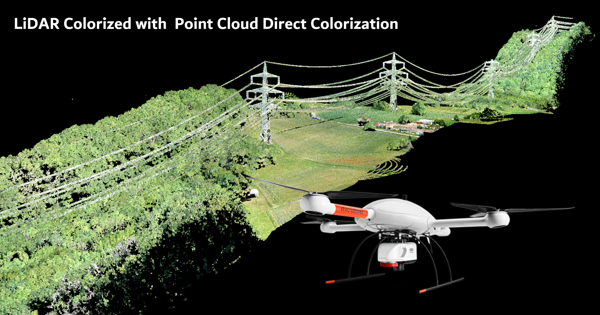
Zur Demonstration der Fähigkeiten und Ergebnisse des mdLiDAR3000DL, einer Drohne der Microdrones Expert-Linie, hat unser Geomatik-Team kürzlich einen Stromleitungskorridor vermessen und eine...
To demonstrate the high-quality visualizations that can be captured with 3D systems from Microdrones, we've created three sample 3D models showing all angles, roofs and sides of buildings, as well as...