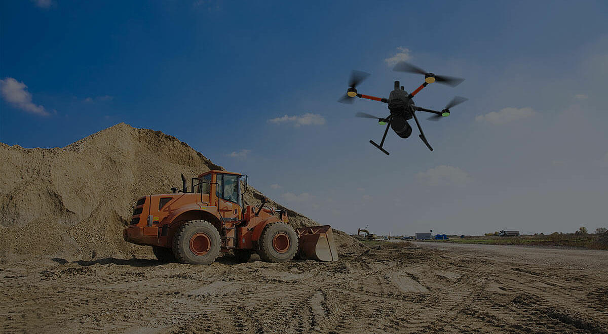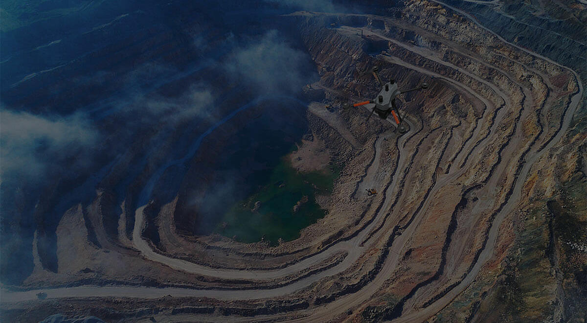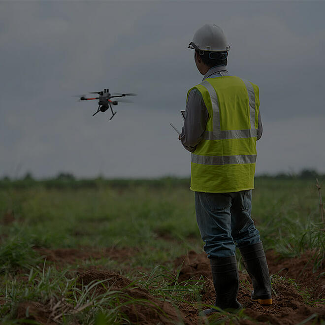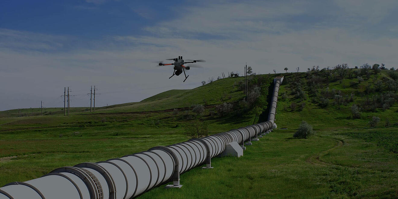


HOW ARE DRONES BEING USED FOR SURVEYING, MAPPING AND GIS?
Geomatics professionals can complete surveying and mapping projects more easily and safely with a Microdrones system. Fully integrated drones allow you to plan, fly, process and visualize, quickly capturing field data and transforming it into effective 3D models, orthomosaics and topographic maps.