Microdrones is going to have a busy 2018. The team is getting ready to introduce a new lineup of easy-to-use, fully integrated aerial LiDAR systems – bringing simplified workflow to complex geospatial projects with the power of aerial LiDAR.
Watch the video or read about it below.
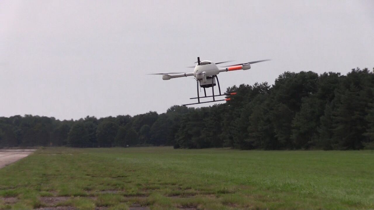
In November, our flight operations team took to the sky, surveying the active runways at Griffiss International Airport in Rome, New York.
Vivien Heriard-Dubreuil, President of Microdrones talked about how his team got to this point, excuse the LiDAR pun:
“We have become the industry leader providing VTOLs for mapping. We are the reference, we have the best solution today. With LiDAR, we are adding a new tool for customers to expand their businesses but also to address new markets and new applications; like being able to map power lines and vegetation, and output detailed pointcloud models.”
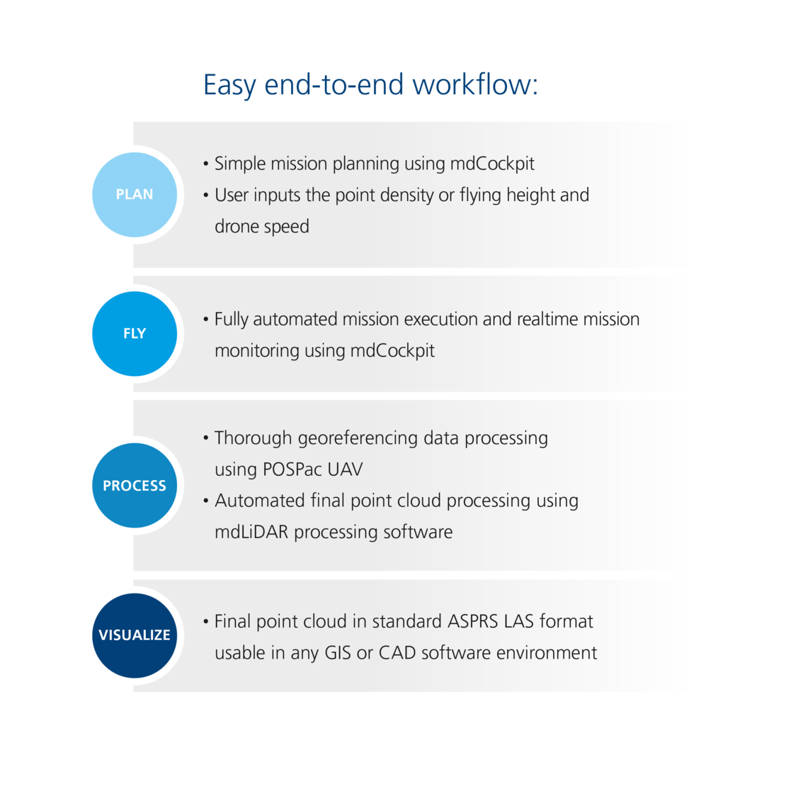
The first LiDAR system to be released by Microdrones in 2018 will be the mdLiDAR1000; it’s a fully integrated system for producing 3D point clouds for land surveying, construction, oil and gas, and mining applications. What sets it apart most from competitors aerial LiDAR offerings? One word: Workflow.
MICRODRONES MAKES IT SIMPLE
By making aerial LiDAR data acquisition easy, and packaging it with proprietary mdLiDAR Processing software, Microdrones has taken the hassle out of generating detailed pointcloud models. The team has even developed a turnkey boresight calibration process so that customers don’t need to worry about it.
The mission at Griffiss hasn’t been done before – drones flying on an active runway to assess the state of its infrastructure. Highlighting what the next step in drones can be-flying together in one airspace.
“We put a lot of effort, time and resources into this and it’s pretty cool to see this really happening. It’s not only just the drone flying, and the team using it but seeing the results and confirming that it works-everything we planned we did it… so at the end it’s about the data, the point cloud that we produced.”
NEW USER ADAPTABILITY
Prior to Microdrones creating this easy to use mdLiDAR1000 solution, the “norm” was to have this technology only for expert level users and was a very cost prohibitive product. Today, the mdSolutions team has created a system that anyone can use with easy training, affordability and data quality. Heriard-Dubreuil adds, “The data remains useful and accurate, we changed the game for surveyors and mappers to get their jobs done more efficiently and at a cheaper cost than hiring out.” (When our mdLiDAR1000 flown at 40m (130 feet) at 3 m/s the is 6cm (0.2 feet).)
For those who already have a Microdrones md4-1000 UAV, who would like to add LiDAR capability, this is an easy addition. The new LiDAR payload can connect to your drone quickly.
DATA TO 3D
View the video above to see the 3D visual representation created by Microdrones using our forthcoming integrated LiDAR systems, mdLiDAR processing software and intuitive workflow.
This is just a teaser- so be on the lookout for more information on the forthcoming LiDAR systems from Microdrones.
For more information on Microdrones contact one of our salespeople today.