Corridor Mapping in Context
With all the advancements brought on by drone technology, aerial mapping is certainly one of the most useful. Being able to have a view from above allows users to save time and increase accuracy on their mapping and surveying jobs.
Watch the mdMapper1000DG in action, corridor Mapping in Chile:
Corridor mapping is a particular technique that is able to help users understand the makeup of terrain, even in difficult conditions. Corridor mapping is frequently used by utility or transportation companies to assess an area where new infrastructure such as power lines or train tracks need to be built.
As the global demand for energy grows, the demand for new infrastructure, and the strain on the existing systems, increases. This requires a fast and accurate method of surveying old infrastructure, and planning for new. Corridor mapping allows this to be done far faster and with less man power than traditional survey systems, which are timely, expensive, and even risky. Many in the industry are now switching to drones for these reasons.
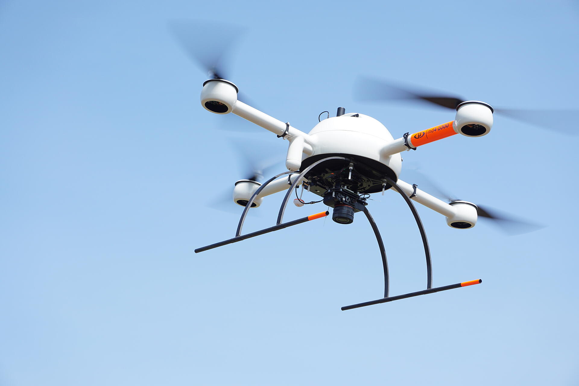
Microdrones Solutions
Corridor mapping involves surveying along linear structures or locations, such as roads, railways, and power lines. Microdrones’ mdMapper 1000DG is ideally suited to corridor mapping, giving the user precise control with more accuracy and safety than fixed wing aerial options. The mdMapper1000DG integrates Microdrones’ high performance UAV platforms with advanced sensors and software, offering the user a complete, integrated package.
The mdMapper 1000DG also features direct georeferencing. This technology does away with the need for ground control points, saving an incredible amount of time and effort when preparing to map, while still delivering survey-grade accuracy.
This system is far more efficient than terrestrial surveying techniques which were slow and cumbersome, requiring GPS base stations and total stations. The traditional grid system, while methodical, is extremely work intensive, and the grids themselves are only a few acres across, limiting the view of the project.
In the past, aerial survey systems required photogrammetric flight made by fixed wing aircraft, which was extremely expensive, and could be ruined by weather and clouds. Using a UAV allows users a far more flexible altitude range, being able to operate affordably and below any cloud cover that might otherwise obscure an aircraft.
Microdrones’ mdMapper1000DG system allows users to collect and process data with far more speed, accuracy, and convenience than traditional survey methods that required ground control points, and could put people in dangerous situations as they moved across tricky terrain. The aerial view provides a more efficient approach when compared to the old grid system, along with affordability and flexibility when compared to older aerial systems.
To learn more about Microdrones’ UAV surveying solutions, including the mdMapper1000DG, visit this page.