LP360 Drone allows you to transform and quality control LiDAR and image data collected from your drone survey equipment.
Trusted by GIS professionals for nearly 20 years, LP360 makes easy work of extracting information and generating deliverables in an intuitive GIS environment.
The extensive geospatial toolbox in the software puts your data to work by creating high quality deliverables such as contours, ground classification, volumetric analysis, digital elevation models and transmission line models.
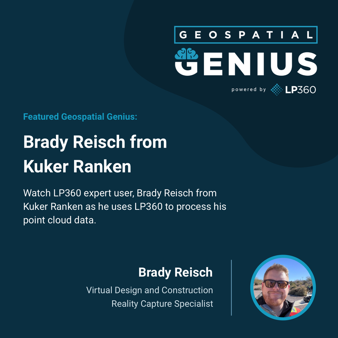
Our Geospatial Genius Feature, showcases how experts in the industry use LP360 to process their drone LiDAR data. Each episode reviews some of the benefits and advantages of the software along with tips and favorite features from professional users.
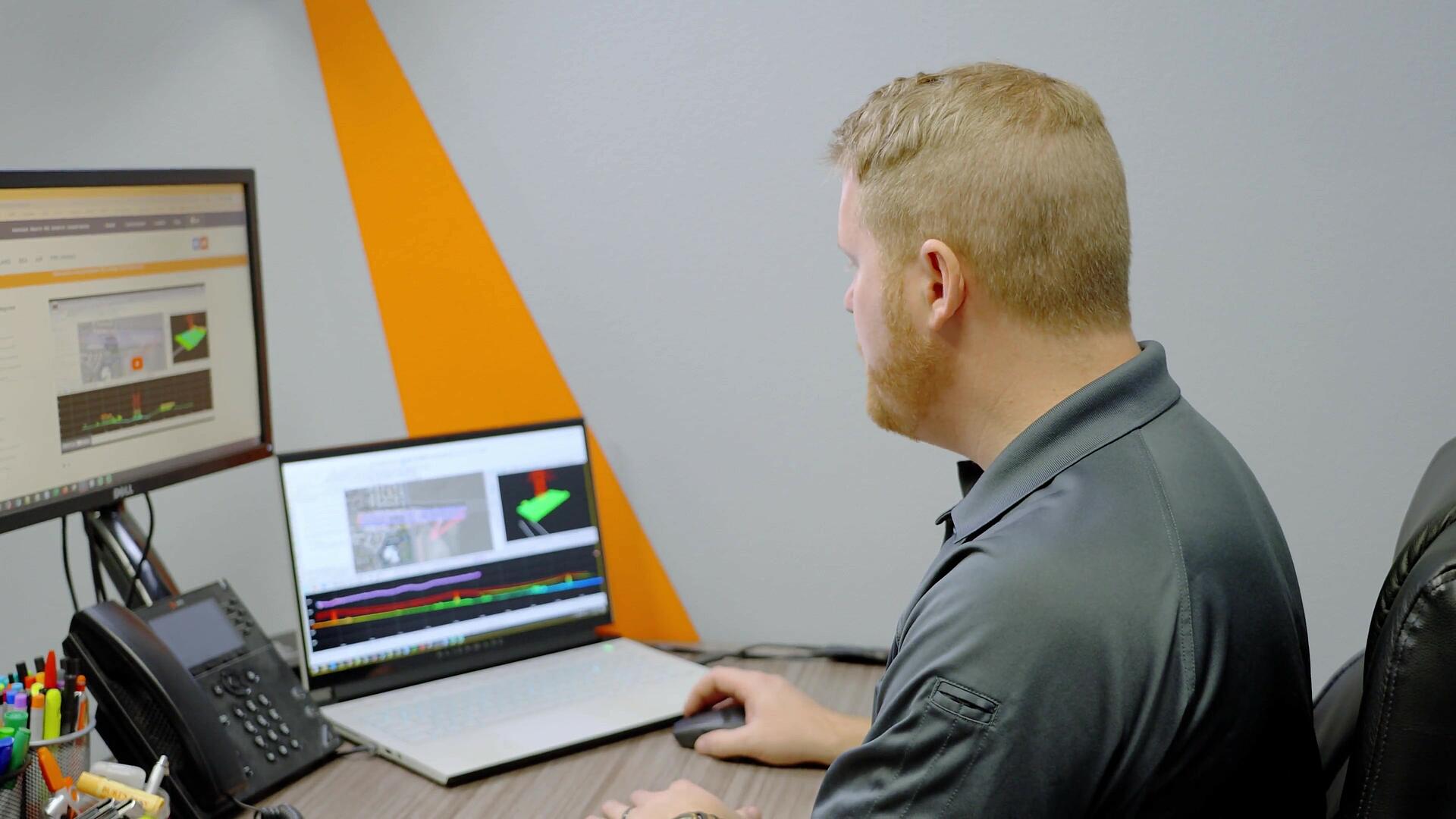
In this episode, we see how LP360's featured expert user, Brady Reisch (Virtual Design and Construction Reality Capture Specialist) uses LP360 Drone software to process, analyze, and maximize drone survey data captured from a drone LiDAR power line survey.

BECOME A GEOSPATIAL GENIUS
LP360 is well known and used by geospatial professionals in surveying, civil engineering, transportation, mining, construction, forestry, and utility companies to process point cloud data and create highly accurate deliverables.
LP360 now offers two product lines, to help streamline your workflow for all of your LiDAR and photogrammetry data processing needs. LP360 Drone is the core product for drone geospatial data workflow. Transform your LiDAR and imagery data with visualization, quality check, classification, 3D editing, and analysis capabilities.
The LP360 Geospatial product line will process captured LiDAR data or images from any aircraft or mobile sensor of your choice and analyze and extract value for large LiDAR datasets.
Each of the software product lines provides tools for rapid visualization and derived product generation with advanced features, such as automatic classification and feature extraction. LP360 can create and manipulate point cloud data directly from industry-standard LAS format without any time-consuming importing or converting processes.
Brady prefers LP360 because it’s stand-alone software. “With LP360, you can process everything through one program,” he explains. “So, you don’t have to have multiple programs to process each individual data set- and then do a comparison in LP360. Instead, LP360 will help you process that data into a point cloud with less steps, making it much more efficient.”
Learn more about our LP360 LiDAR & photogrammetry 3D point cloud software or schedule a time to meet with one of our sales representatives today to add LP360 to your workflow.