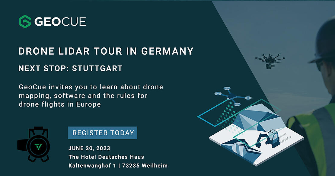
Drone LIDAR TOUR
Coming to a German City Near You.
Next Stop: Stuttgart!
After a successful 1st stop in Munich, the Drone Lidar Tour is making its next stop near Stuttgart. GeoCue and Microdrones invite you to learn more about drone mapping, software, and the rules for drone flights in Europe. Join us for a DRONE MAPPING WORKSHOP at the Hotel Deutsches Haus in Kaltenwang close to Weilheim a. d. Teck. Conveniently located at the Autobahn A8 Ulm-Stuttgart, it is easy to reach.
Date: June 20, 2023
Time: 9a – 3p
Place: Landgasthof Deutsche Haus KG, Kaltenwanghof 1, 73235 Kaltenwang / Weilheim
Maximum Capacity: 40 guests
Drone mapping technology enables users to obtain, process, and evaluate data with greater precision, simplicity, and speed. GeoCue and Microdrones' Drone LiDAR products offer technical benefits to mapping experts in various fields, including surveying, mining, engineering, and government agencies.
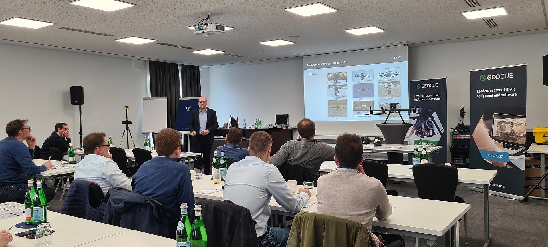
By attending this drone mapping workshop, you will acquire knowledge on how Drone LiDAR facilitates the production of highly accurate, 3D colorized point clouds and inspection imagery. Our team of professionals will demonstrate the equipment and software to show you how to effectively carry out your mapping projects. We are excited to collaborate with you and answer all your drone surveying questions.
In this presentation we’ll cover:
- GeoCue LiDAR sensors
- Use of Guest sensors with GeoCue LiDAR and LP360 in customer project
- UAS operation in the special operation category
- Use of drone data in iTWOcivil by RIB
- Introduce the PNR21 GNSS receiver with intuitive software for easy surveying and surveying in construction and engineering projects
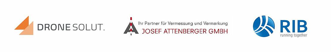
THIS DRONE LIDAR TOUR WILL FEATURE PRESENTATIONS FROM OUR PARTNERS:
We hope you can join us for our next stop near Stuttgart. If not, you can always schedule an appointment to meet with Samuel Flick, our sales representative for Central Europe.
Or, if Stuttgart is not convenient for you, we are also planning more stops this year in Berlin, Hamburg, and Siegen.
About Dronesolut
Dronesolut is a service provider for UAS operators in the special operating category according to DVO (EU) 2019/947. In addition to individual advice on all aspects of operating licenses, the product portfolio includes the assumption of flight operations tasks and software for efficient management of flight operations. René Wagner is the owner of Dronesolut, an aeronautical engineer and a pilot with many years of experience in the aviation industry. As the owner, he uses his aviation expertise and supports UAS operators with all questions about flights in the special operating category. He is also a certified project manager, UAS expert and UAS remote pilot.
About RIB
RIB supports you in creating a ceiling book from drone measurements, automatically calculates cross-sections, generates quantity calculations from them and creates 3D solids for transfer to the BIM 5D process. Find out how – at this event in Munich. Lars Bitzer, representing RIB, is a qualified surveyor and supports road and civil engineering companies as well as engineering offices. He looks after his customers throughout southern Germany in the area of infrastructure for RIB iTWOcivil.
About Attenberger
Attenberger has been developing, producing, and selling surveying and marking material for 70 years. The company carries a comprehensive range of surveying needs, as well as high-tech surveying with GNSS, reference stations and total stations. Attenberger has been supporting us in drone sales for years. Attenberger is represented by the managing director, surveying and GNSS expert Tobias Klinkan.
GeoCue and Microdrones have joined together to offer the very best in drone surveying equipment, geospatial software, workflow, training, and support.
If your business only needs software to process LiDAR data and images then LP360 allows you to process, analyze, and maximize drone survey data, producing valuable information and deliverables.
Need a LiDAR payload with the best processing software? TrueView offers innovative drone LiDAR and photogrammetry sensors integrated into lightweight payloads compatible with all platforms that can carry the weight.
Or, if you prefer a fully integrated system then our product line from Microdrones offers complete end-to-end systems that include the drone, the LiDAR and imaging payload, software, workflow, training, and support.
Samuel Flick is our Sales Manager and UAV expert for Central Europe and can help you get started with LP360, TrueView or Microdrones systems. Schedule a meeting with Samuel today.