Watch this informative video presentation on Hardware and Software available from GeoCue and Microdrones.
GeoCue and Microdrones were pleased to be exhibitors at this year's Intergeo event in Berlin. We had a fantastic time connecting with industry professionals, enthusiasts, and potential clients, as we showcased our cutting-edge drone LiDAR Hardware and Software solutions. We answered numerous inquiries and engaged in insightful discussions about our products. Furthermore, our new TrueView 3D Imaging Systems and the EasyOne drone LiDAR system received an enthusiastic reception from attendees, reinforcing our commitment to advancing geospatial technology. It was a great event, and we look forward to building upon the relationships forged and insights gained from Intergeo 2023.
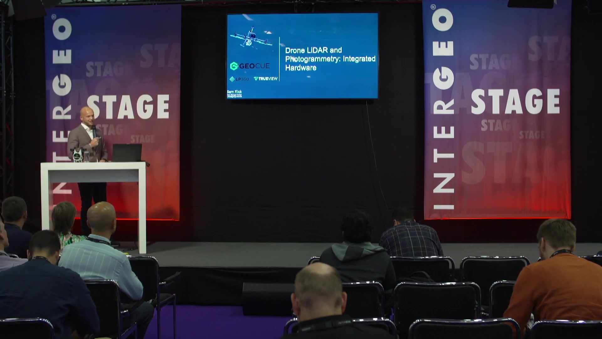
As part of this year’s event, we also held a special presentation on the Intergeo Unmanned Systems Stage, hosted by our very own Samuel Flick, our Sales Manager for Central Europe, on our Drone LiDAR and Photogrammetry: Integrated Hardware. The presentation is now available to view in the video below:
Drone LiDAR and Photogrammetry: Integrated Hardware
Planning to acquire a drone LiDAR system and wondering what to do next? You are not alone; it’s a big decision and requires a combination of hardware, software, workflow training, and support.
Depending where you are in the process, you may be considering
• A fully integrated system that includes drone, sensor payloads and software
• A payload/sensor package with integrated software, or
• Software only
This presentation will provide you with an overview of what to look for and what type of systems may fill the needs of your business. You’ll see how professionals are using drone surveying hardware from TrueView and Microdrones to collect data, then process and visualize it using LP360 software to generate highly accurate 3D colorized point clouds and imagery.
Our team will show you what to look for to select the right equipment and software to successfully complete your geospatial projects. Participants will take away a better understanding of how to identify which products fit their needs based on application and project specifications.
If you're ready to get started, schedule a time to meet with one of our helpful representatives today.