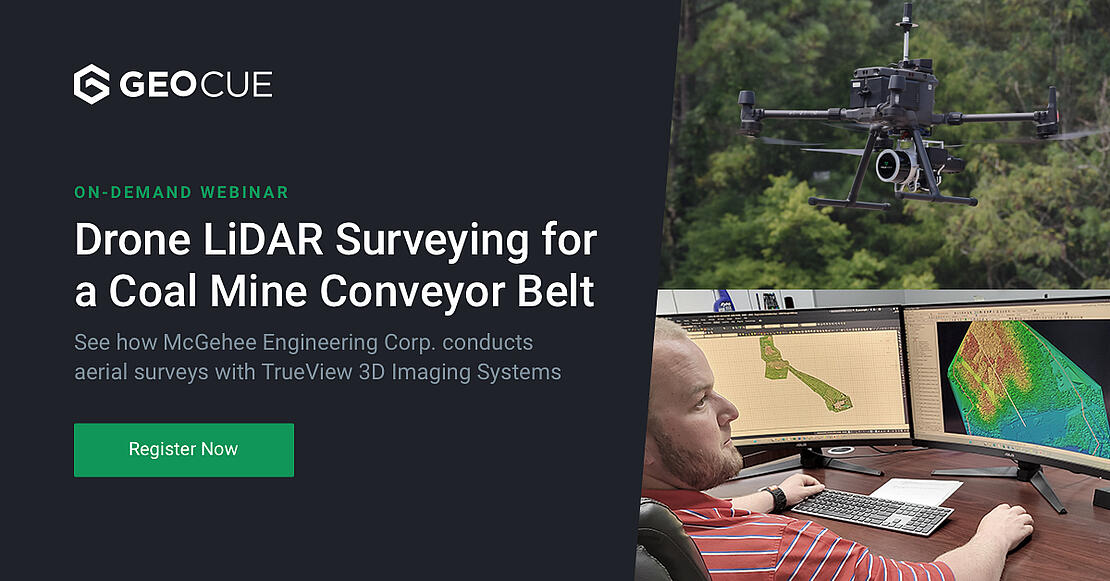
See how McGehee Engineering Corp. conducts aerial surveys with TrueView 3D Imaging Systems
McGehee Engineering Corp., incorporated in 1989, found its niche in the coal mining industry in Alabama and has since grown its business into a multi-disciplined consulting firm providing mining, environmental, civil, geotechnical, analytical, and specialized expertise to a broad range of clients.
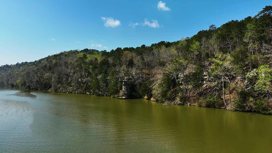
Keeping up with the times means keeping up with technology, and the McGehee team has become experts in aerial mapping and surveying. Especially on this particularly challenging project for one of their coal mining customers who need to build a large conveyor belt on the side of a steep bluff to transport material down the cliff.
The sheer size, extreme terrain, and extensive vegetation would take months to survey using traditional methods to create the topos of the bluffs and forests. That’s why McGehee Engineering utilized TrueView LiDAR technology from our sister compoany, GeoCue, to quickly survey the project, safely collect the data, and more accurately provide the contours and surface designs needed to engineer the coal conveyor belt. Watch how they overcome the terrain, distance, and the challenges of a busy waterway in these next episodes of Down to Earth: the Coal Belt.
“Down to Earth” is a documentary-style reality series that shows how real surveyors collect data and turn it into real deliverables, despite challenging conditions, hidden dangers, and inclement weather.
These episodes feature the TrueView 3D Imaging Sensor from GeoCue, integrated payloads that include sensors, dual cameras, and IMUs that are compatible with all drone platforms that can support the weight.
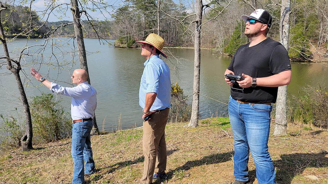
In this first episode, the team from McGehee Engineering reviews the project site and begins planning to use TrueView 515 to overcome the challenges of the terrain, distance, and bluffs facing the design of the Coal Belt.
“We’re here today to do a survey for a coal company to give them topo of their belt line leading down to their barge loadout,” explains Jordan McGehee, a Partner with McGehee Engineering Corp and Registered Professional Engineer. “This is a very difficult section of land that would take two or three months with a traditional team of four or five guys. However, drones are perfectly suited to do a LIDAR survey of the cliff side leading down to the river, to keep our team safe and scan through the thick canopy of the forest.”
In the 2nd episode, the TrueView 515 takes to the air and begins the process of surveying almost 300 acres of steep cliffs and forest. Stephen Blankenship, the Environmental Engineering Department Manager for McGehee, relies on the drone LiDAR to help get their customers accurate and reliable deliverables.
He recognizes that photogrammetry could not get the necessary data for this job. “One of the important factors of choosing to use TrueView 515 for this project,” he says, “is that the LIDAR allows us to access the ground, penetrate the canopy, and ultimately get a good definition for our digital contouring for a belt design.”
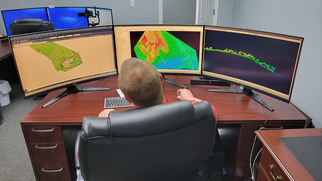
In the third and final episode of the Coal Belt, Jordan and Stephen head back to the office in Jasper, Alabama to process the data and create the deliverables in LP360. “What we hope to be able to provide to our clients through this LiDAR TrueView survey,” explains Blankenship, “is to give them the aerial photography, the photogrammetry, but also the digital contour mapping, which will provide our client the topos needed to establish the necessary design work for the conveyor belt and the barge loadout facility.”
The advances in drone LiDAR technology and software help the team at McGehee Engineering quickly and efficiently satisfy the needs of their customers. McGehee reveals, “With the TrueView 515 LiDAR and LP360 software, our customers are extremely happy with the results. We’re able to provide a surface model that is unmatched and we have clients that just rave about our deliverables.”
About McGehee Engineering Corp.
McGehee Engineering Corp. is recognized as a multi-disciplined consulting firm providing mining, environmental, civil, geotechnical, analytical, and specialized expertise to a broad range of clients. The firm is noted for the overall technical quality of work, and its reputation reflects excellence in areas of practice, the professionalism of its staff, and a commitment to providing superior client service.
McGehee Engineering Corp. combines many other in-house services, from surveying to construction inspection and testing, to provide a product from start to finish. Their goal is to design and maintain a cost-effective project that incorporates good engineering and the best available science, to meet the local, state, and federal regulations or codes, and is an appealing design that meets or exceeds client expectations.
If you would like more information about using drone LiDAR for aerial surveying, schedule a time to talk with one of our representatives today.