NOW AVAILABLE ON YOUTUBE AND MDTV
Down to Earth, a surveying reality series, shows how real surveyors collect data and turn it into real deliverables, despite challenging conditions, rugged terrain and lurking dangers.
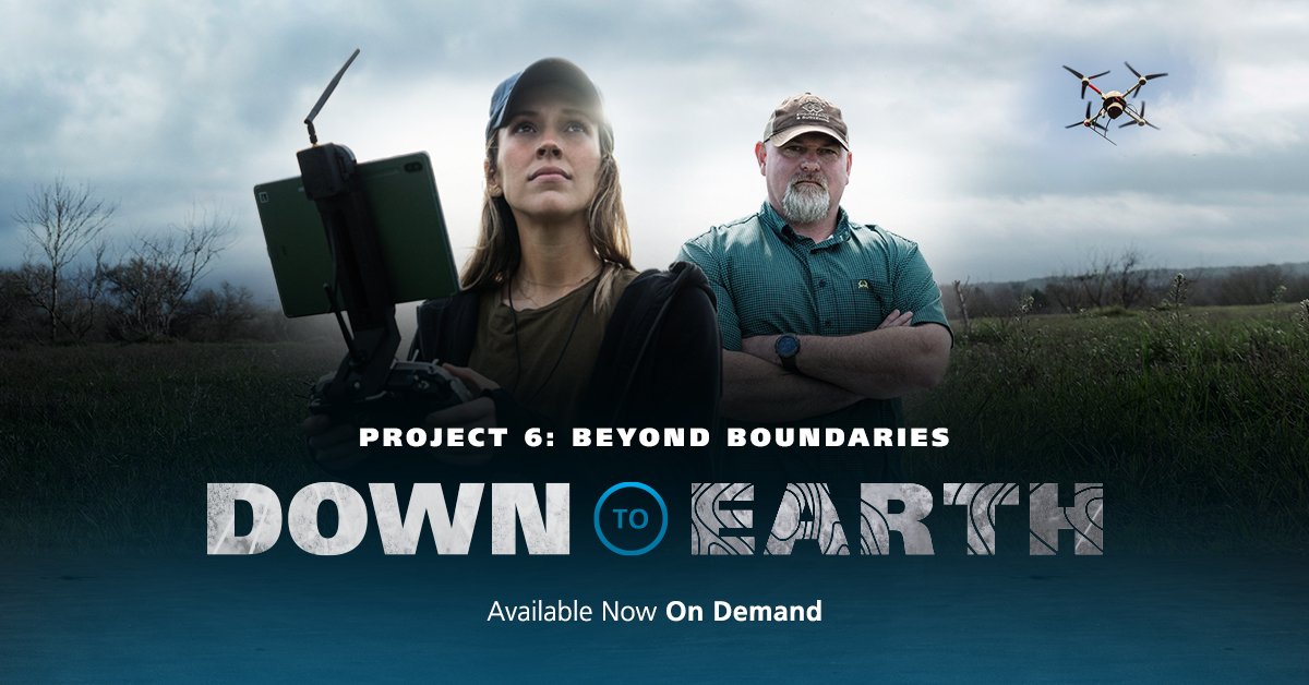
In these new episodes, go beyond boundary surveys with drone LiDAR.
Traditionally, boundary surveys are not conducted using drone technology. However, the team at Carlson, Brigance & Doering, Inc. (CBD), a civil engineering and surveying firm in the Austin Texas area is using drone LiDAR to create updated, accurate Boundary Surveys in these three episodes of Down to Earth, Beyond Boundaries.
The project is a challenging, 550 acre, tract of land in Southern Texas, where the property boundary follows the Colorado River, which has changed significantly since the original survey from the late 1800s.
A traditional survey on this project could take a field crew a few weeks to complete. That is why CBD decides to use drone LiDAR to create an updated, accurate boundary survey in only a few days.
Watch Episode 1 below:
The first episode introduces Aaron Thomason, R.P.L.S. and Vice President at CBD, as he reviews the project, challenges, and end deliverables needed. Aaron sends UAV Pilot and GIS Specialist Laura Brown, into the hill country of Bastrop, Texas to collect the data using drone Lidar.
“Collecting the lidar data will allow us to generate these high banks and low banks and any of the other terrain features we’re having to deal with in order to create a boundary on this project,” Thomason explains. “There’s also some drastic elevation changes in the topography along the river. So, it makes much more sense to use a drone that’s 50 meters in the air to collect the data, rather than introduce some hazardous terrain to climb.”
However, Mother Nature doesn’t always like to play along. A triple threat of wind, water, and foliage make surveying the banks of the Colorado River a Texas-sized challenge.
Watch Episode 2 Below:
In Episode 2 you’ll follow Laura as she handles over 14,000 linear feet of steep banks, muddy terrain, and rushing water, by using the drone LiDAR to safely collect the data.
“Wind and weather are the main challenges, especially this time of year,” said Laura. “I also need to be aware of any wildlife in the area or any livestock. I’m on undeveloped property, quite a lot and that’s one of the main advantages of the Microdrones system- the drone can get to areas I might not be able to access.”
Watch Episode 3 Below:
The final episode of the series wraps in the CBD office, where Laura uses mdInfinity, a complete software solution for Drone LiDAR, to see if the data can be processed and visualized to create a point cloud of the property and determine an accurate boundary.
If you'd like to view the webinar premiere that feature all 3 episodes of Down to Earth, Beyond Boundaries, along with exclusive behind-the-scenes mission planning, data capture and analysis of the final deliverables narrated by the professionals involved in the project CLICK ON THE IMAGE BELOW.