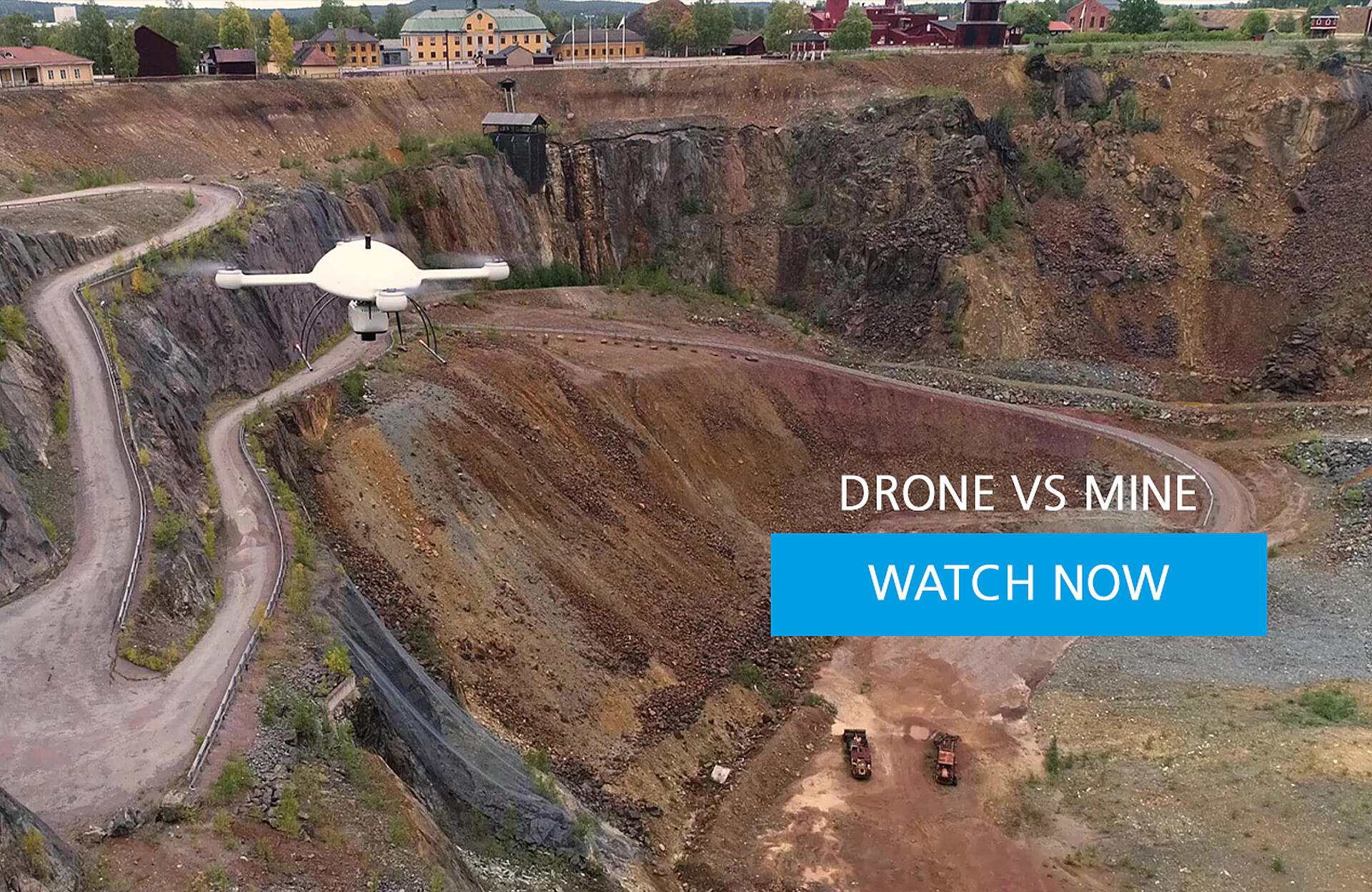
It's drone vs. mine in this 3-minute drone surveying case study. Watch the video and view the LiDAR point cloud.
European engineering company Sweco is hired to survey and map the historic Falun Mine, in Sweden, once the world’s largest copper producer, to identify movement or settlements that could lead to a collapse.
To get the job done safely and efficiently, they’re using the mdLiDAR3000DL from Microdrones.
See how they set up their mission, collect data, and find out if they're able to avoid the dangers of the Great Pit in this 3-minute case study.
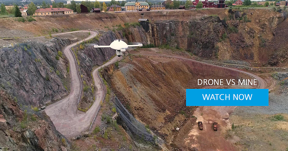
An abandoned mine called “The Great Pit” sits on the edge of the quaint town of Falun, Sweden. The Pit wasn’t always dormant, however… Rewind a few centuries, and the mine was thriving, producing two thirds of all the copper for the western world. Falun is proud of its heritage, and the unique attraction has earned the town the badge of Unesco’s World Heritage Sign — a privilege bestowed upon landmarks deemed worthy by the United Nations. It also takes home history’s largest-cave-in-in-the-world award, but don’t worry, no workers or mining canaries were hurt during the centuries old disaster.
However, the danger is still real and European engineering company Sweco is hired to identify movement or settlements that could lead to a future collapse at the tourist attraction. To stay out of harm’s way, they’ll use the mdLiDAR3000 DL from the Microdrones expert drone line to survey and map the historic Falun Mine and identify any areas at risk.
Will the crew make one or two flight routes? How will they account for the uneven height and hatch angles? But most of all, what other challenges remain in the air above and the depths below the Great Pit?
To answer these questions the team starts by creating their plan and determining if they’ll need one or two flights to capture the enormity of the pit.
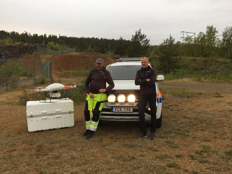
Safety comes first, and after a pre-flight check list and ensuring the skies are clear, the team gets the drone ready for flight number one, at an altitude of 80 meters. Once in the air, high above the Great Pit, the LiDAR collects millions of data points to help with the analysis of surface. However, is the drone too high or is the Pit too deep to collect accurate surface data and provide the coverage needed? Another flight, at a lower altitude can’t hurt, to make sure the data doesn’t cave in, like the mine did so many years ago.
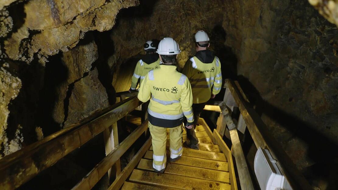
Speaking of the mine, the team suited up and ventured into the darkness to explore the depths of the pit for themselves. Deep underground, the history of the mine seeped through the walls with a claustrophobic feel, exposing the dangers Miners faced years ago. Digging into the past gave the SWECO team an appreciation for the project and a desire to return topside... Plus, there was still more drone surveying to complete.
Back above the Pit, the crew was joined by a Microdrones team member to witness flight number 2. Once again, the drone surveying equipment took to the air, although this time at 40 meters altitude, half the height of the first flight, to achieve a higher point density. Upon completion, a quick field quality check verified the data and confirmed the team could head back to the office for processing and visualization.
Did the drone deliver? Was there enough data to create a point cloud for analysis? Were two flights even necessary? These questions were answered after the Lidar files and data were imported into mdInfinity and each flight was processed separately. Once the data was visualized the answers surprised the team- the higher flight captured more points than anticipated, making the 2nd flight moot. However, too much data wasn’t necessarily a problem in this case.
Upon the successful completion of the project, SWECO could provide an accurate DTM of the Great Pit to their customer and compare it to previously collected data to look for shifts in the terrain, erosion and other surface irregularities that could reveal possible danger zones. In two years’ time, Sweco will be back with drone surveying equipment from Microdrones to update their data and complete another Great analysis at the Great Pit.
For more information on adding drone LiDAR to your surveying workflow, talk with our sales team.
You can also watch more episodes about the drone LiDAR project over the Great Pit.