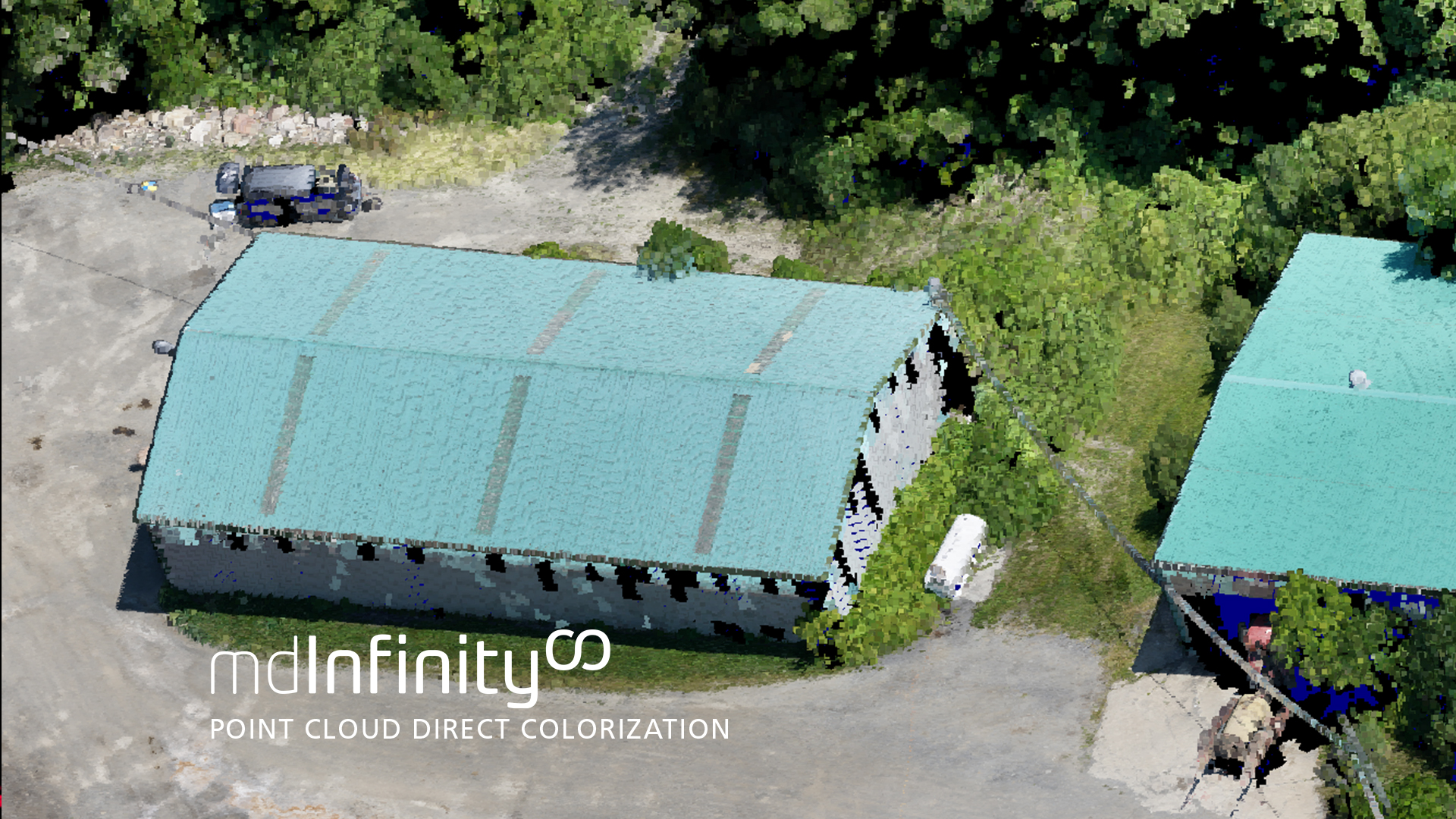
Point Cloud Direct Colorization
mdInfinity is a unique data processing software solution that is packaged with either the purchase or rental of drone survey equipment from Microdrones to help you quickly and efficiently process geospatial data.
Microdrones has created a series of videos that take a closer look at the mdInfinity data processing modules toexplore why they are important and what benefits they provide. In this video, we review how to apply direct point cloud colorization to drone survey data. Watch in the player below or read the following summary.
What is Point Cloud Direct Colorization?
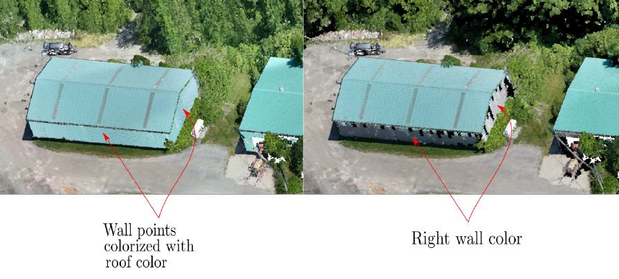
The mdInifinty data processing module Direct Point Cloud Colorization allows users to colorize a point cloud without referring to a full photogrammetric process by managing occlusions. Microdrones point cloud colorization is done after the LiDAR point cloud generation, and occlusions are colorized by considering only the relevant part of the cloud.
Direct Point Cloud Colorization is available exclusively through mdInfinity Custom Services.
This data processing module implements a rapid and comprehensive photogrammetric workflow that needs just two to four seconds per image to transform images and navigation data into an orthomosiac and a dense point cloud.
These orthomosaics are geometrically consistent and don’t suffer from distortion.
The Benefits of Direct Point Cloud Colorization
Consider a construction or mining site, which often use visuals to monitor the movement of excavators and trucks in the work area.
Data in the form of a colorized point cloud helps aid in fleet management efforts by providing distance information directly on a map with a more informative 3D visual. Indirect colorization can lead to confusion and inaccuracy, which these operations can’t afford.
It allows surveyors to more easily identify and distinguishing their zone of interest.
Overall, direct point cloud colorization allows for solid, actionable data and realistic colorization, even on steep slopes, which avoids the “double mapping” effect and saves time by eliminating the need to generate an orthophoto to colorize. Processing time is cut significantly, and every minute counts in striving for greater efficiency.
To learn more about using the Direct Point Cloud Colorization Data Module in mdInfinity, CLICK HERE to speak with a representative from Microdrones.