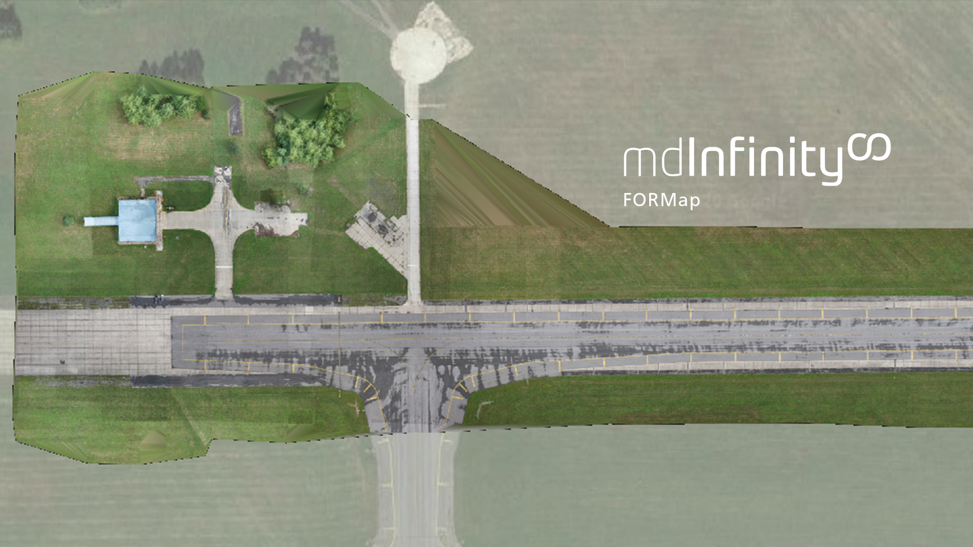
FORMap
mdInfinity is a unique data processing software solution that is packaged with either the purchase or rental of drone survey equipment from Microdrones to help you quickly and efficiently process geospatial data.
Microdrones has created a series of videos that take a closer look at the mdInfinity data processing modules to explore why they are important and what benefits they provide. In this video, we review how to create orthophotos of drone survey data quickly with FORMap. Watch in the player below or read the following summary.
How Does FORMap Work?
FORMap, available exclusively through mdInfinity Custom Services, is geared toward quickly generating an orthomosaic and dense point cloud from photogrammetric survey data, eliminating the need for lengthy photogrammetric workflows.
FORMap implements a rapid and comprehensive photogrammetric workflow that empowers users to transform images and navigation data into the aforementioned orthomosaic and dense point cloud.
This is possible because FORMap takes advantage of Microdrones Direct Georeferencing technology, which leads directly to faster data processing than other photogrammetric workflows.
FORMap requires only images with initial geolocation and orientation, or EO parameters, and initial camera calibration parameters, or IO parameters, to process inputs and deliver strong results that have been optimized throughout FORMap’s photogrammetric process.
The Benefits of FORMap
Speed is the main benefit of leveraging FORMap. FORMap’s response time is a quick two to four seconds per image, meaning results are produced just minutes after the drone being used to collect data lands.
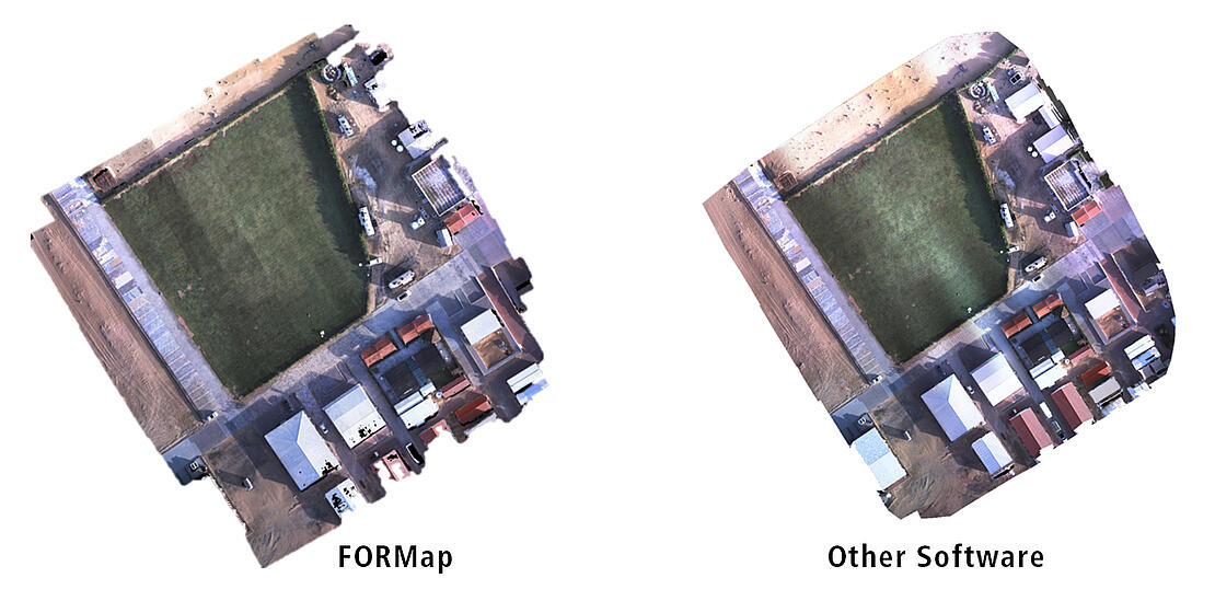
Even for full-resolution, highest-accuracy orthophotos, FORMap delivers results in half the time of other photogrammetry software. Other software programs can take two to three hours to create an orthophoto and digital surface model.
This speed and efficiency brings measurable benefits across a range of industries, but particularly for surveying, construction and mining operations, where operators need survey results onsite and on the fly.
While FORMap’s speed sometimes brings slightly less accuracy and slightly lower resolution, it offers an unprecedented ability to take quick and decisive action.
Put simply, FORMap empowers operators to get powerful results and actionable insights more quickly than ever before without sacrificing accuracy or needing to engage in complex, traditional photogrammetric workflows.
To learn more about using the FORMap Data Module in mdInfinity, CLICK HERE to speak with a representative from Microdrones.