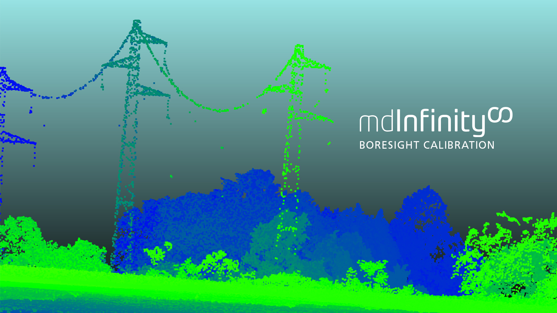
Boresight Calibration
mdInfinity is a unique data processing software solution that is packaged with either the purchase or rental of drone survey equipment from Microdrones to help you quickly and efficiently process geospatial data.
Microdrones has created a series of videos that take a closer look at the mdInfinity data processing modules to explore why they are important and what benefits they provide. In this video, we review how to perform Boresight Calibration of drone Lidar. Watch in the player below or read the following summary.
What is Boresight Calibration?
The Boresight Calibration data processing module in mdInfinity tackles the issue of the alignment of the LiDAR and the IMU body frames. Boresight misalignment can affect the actual position of the images from a drone LiDAR survey.
The quality of points collected from LiDAR systems, like the mdLiDAR1000 aaS, is highly dependent upon the calibration process. While a data set may seem clear at high-scale, LiDAR to IMU boresight angles may produce some inconsistency in the data set. An angle misalignment between the IMU and the LiDAR will impact your results and can prevent the point cloud matching.
With the Microdrones LIBAC (LiDAR-IMU Boresight Automatic Calibration) tool, this misalignment is computed automatically and boresight angles can be applied to georeference the data set without boresight bias.
The Boresight Calibration module within mdInfinity is very user friendly and available for customers to use at their own facilities.

Getting Started with Boresight Calibration
mdInfinity allows you to process your data whether it’s on the cloud on the desktop version and improves your workflow with easy, repeatable results. The software is adapted to work seamlessly with Microdrones surveying equipment.
1. FLY
To update the boresight calibration of your LiDAR sensor, mdInfinity supplies you with a special flight plan to gather LiDAR data. After you’ve flown the special Boresight Calibration mission, you will then take the data and post-process the trajectory in the mdInfinity Trajectory Processing module.
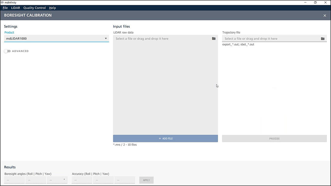
2. INPUT
The next step is to open the Boresight Calibration module in mdInfinity and input the post-processed SBET file, created in the Trajectory Processing module, along with the LiDAR raw data files. When the files are transferred, click the Process button. The software will then calculate the new Boresight angles for roll, pitch and yaw, along with an accuracy report that verifies the calibration is within specifications.
Benefits of Boresight Calibration
Without careful calibration of the boresight angles from LiDAR systems, data collected could impact your results in different ways that could prevent the point cloud matching. Therefore, it is important to perform Boresight Calibration after payload integration and when starting new projects.
For example, in the Surveying industry, when creating an orthophoto, it is important to perform Boresight Calibration to make sure the overlapping strips of the photos are precise. Otherwise, at the end of the day, the orthophoto will not be an accurate representation.
In construction, it’s beneficial to conduct the boresight calibration to ensure your volumes and levels of moved Earth are accurately accounted for allowing you to get properly compensated. A boresight calibration when surveying a vertical face in open pits or open mines will position your vertical face correctly according to the mine’s design. Not conducting that calibration could negatively influence your volumetric calculations and prevent you from receiving payment for the work you’ve done.
In summary, with the mdInfinity Boresight Calibration module, the misalignment is computed automatically and boresight angles can be applied to georeference the data set without any boresight bias.
To learn more about using the Boresight Calibration Data Module in mdInfinity, CLICK HERE to speak with a representative from Microdrones.