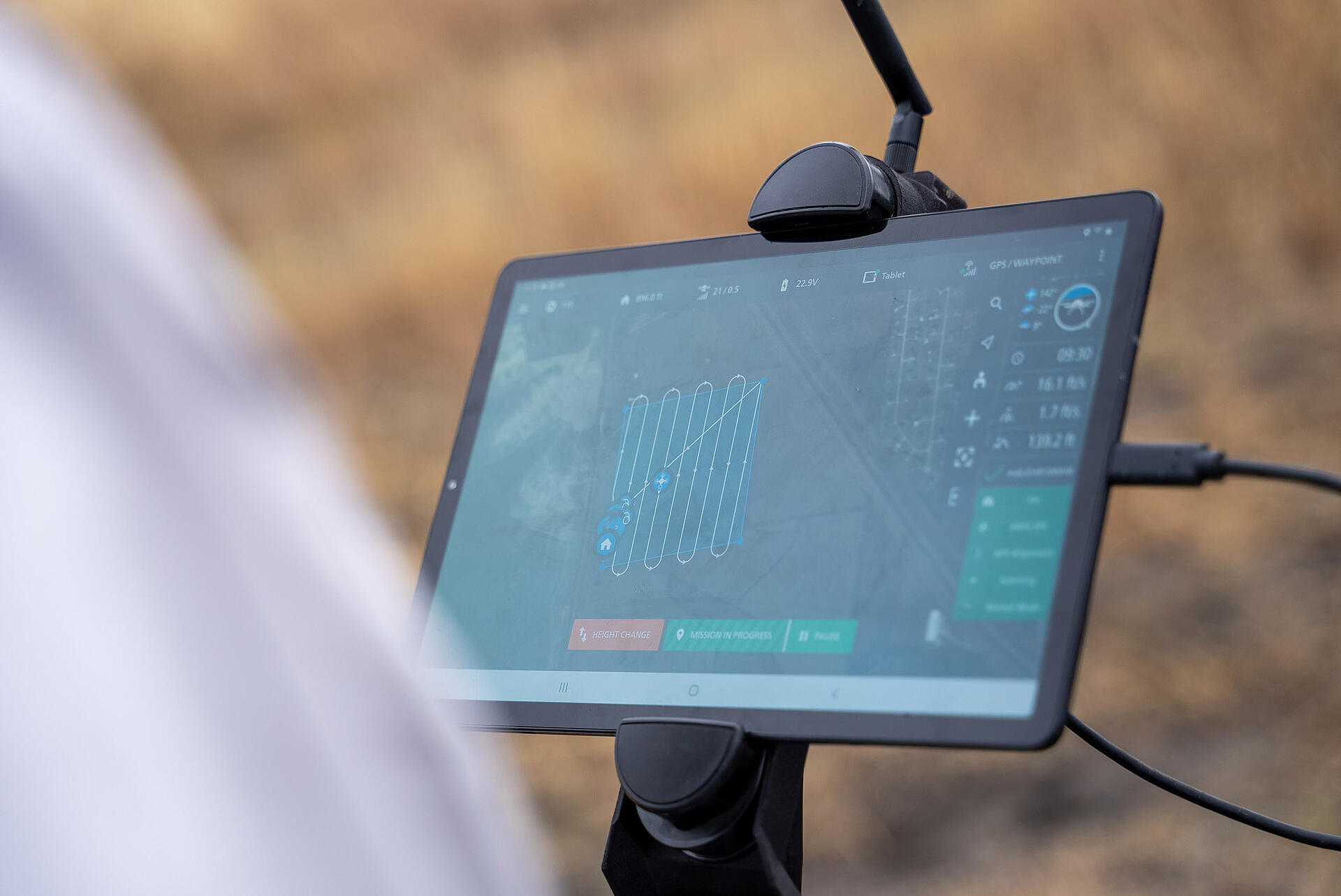
mdCockpit, the industry-leading app from Microdrones was designed for professional drone users and makes it easy to plan, monitor, change, and control your flights right from your tablet– and it just got even better.
The latest updates in mdCockpit 2022.2 includes new features that improve flight safety and give more options for surveying, all aimed at one key vision to deliver the premier solution for planning, monitoring, adjusting, analyzing and controlling professional drone flight missions right from your Android tablet. This update includes inflight remote ID monitoring and minor changes to the interface.
mdCockpit 2022.2 Key Updates
Be sure to update mdCockpit to get the latest features. mdCockpit automatically notifies you of any updates.
User interface
- The takeoff-height icon was changed for more clarity.
- A new terrain-height icon shows the height above ground in the telemetry menu.
- The mdCockpit User Manual and the flight checklists are now under a Documentation menu in the main menu.
Remote ID monitoring
- The Drone Config menu lets you select a remote ID mode. These modes are provided for compliance with regulations for remote identification.
- The telemetry bar shows if the remote ID is broadcasting.
Payloads
- mdCockpit now supports the new payload mdLiDAR1000UHR.
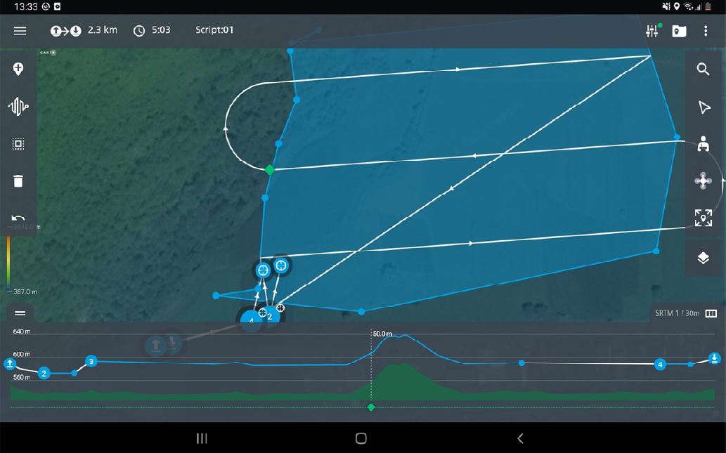
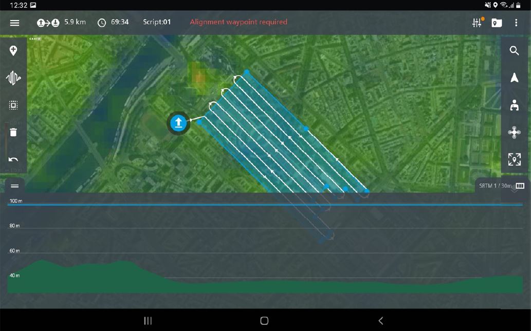
Altimetric route
The altimetric route now shows the terrain height for the curved part of a flight. This means that it is easier to plan for obstacles when you have Curved flight enabled.
User interface
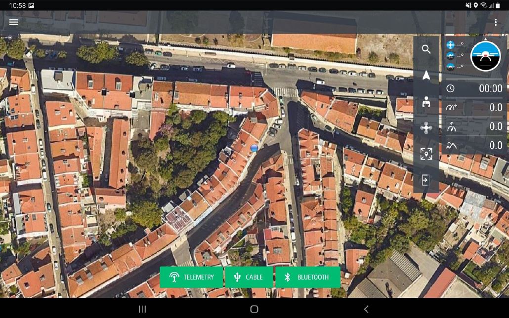
The appearance of the drone-connection buttons is now consistent with the general user interface.
In Drone Config , 'minimum execution distance' was renamed 'maximum takeoff distance to first waypoint'. Here you can set the distance between the takeoff site and the first waypoint.
mdOS updates
You can now update the drone firmware (mdOS) directly with mdCockpit. This means that you no longer need to remove the SD card from the drone and copy the firmware files.
This feature is available for these systems:
- mdOS V4.62 and above for Version C drones.
- mdOS V4.70 and above for Version D drones.
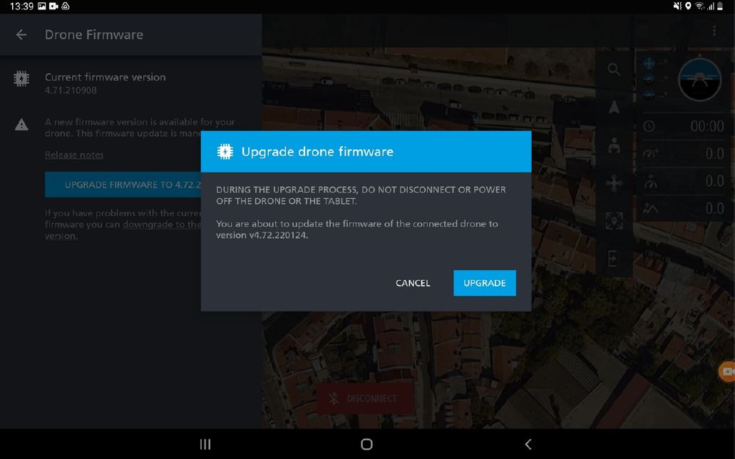
Go to Drone Config and select Firmware version. Here you can update to the next highest mdOS version. Read the mdOS release notes before you start the update.
To get the latest version of mdOS, install the updates until mdCockpit tells you that you have the latest version.
Altimetric route
A vertical scale was added to the altimetric route. Grid lines show the height above the takeoff site.
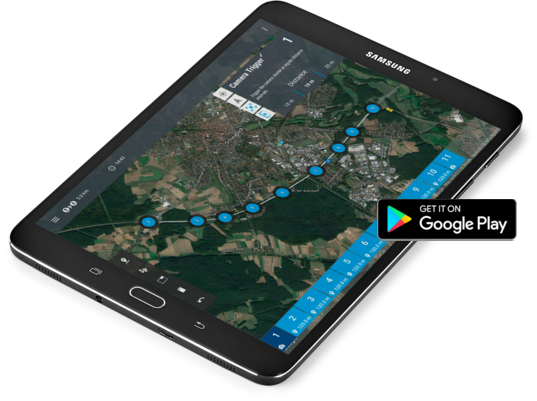
Downloading the mdCockpit app onto your Android tablet is easy. Click the image below or visit our page in the Google Play store.
To learn how to get the most out of mdCockpit schedule a time to speak with a Microdrones sales representative.