The latest updates to mdInfinity Desktop 2021.4 and Cloud 2021.5 are now available for use. mdInfinity is our unique data processing software solution that is packaged with either the purchase or rental of drone survey equipment from Microdrones to help you quickly and efficiently process geospatial data.
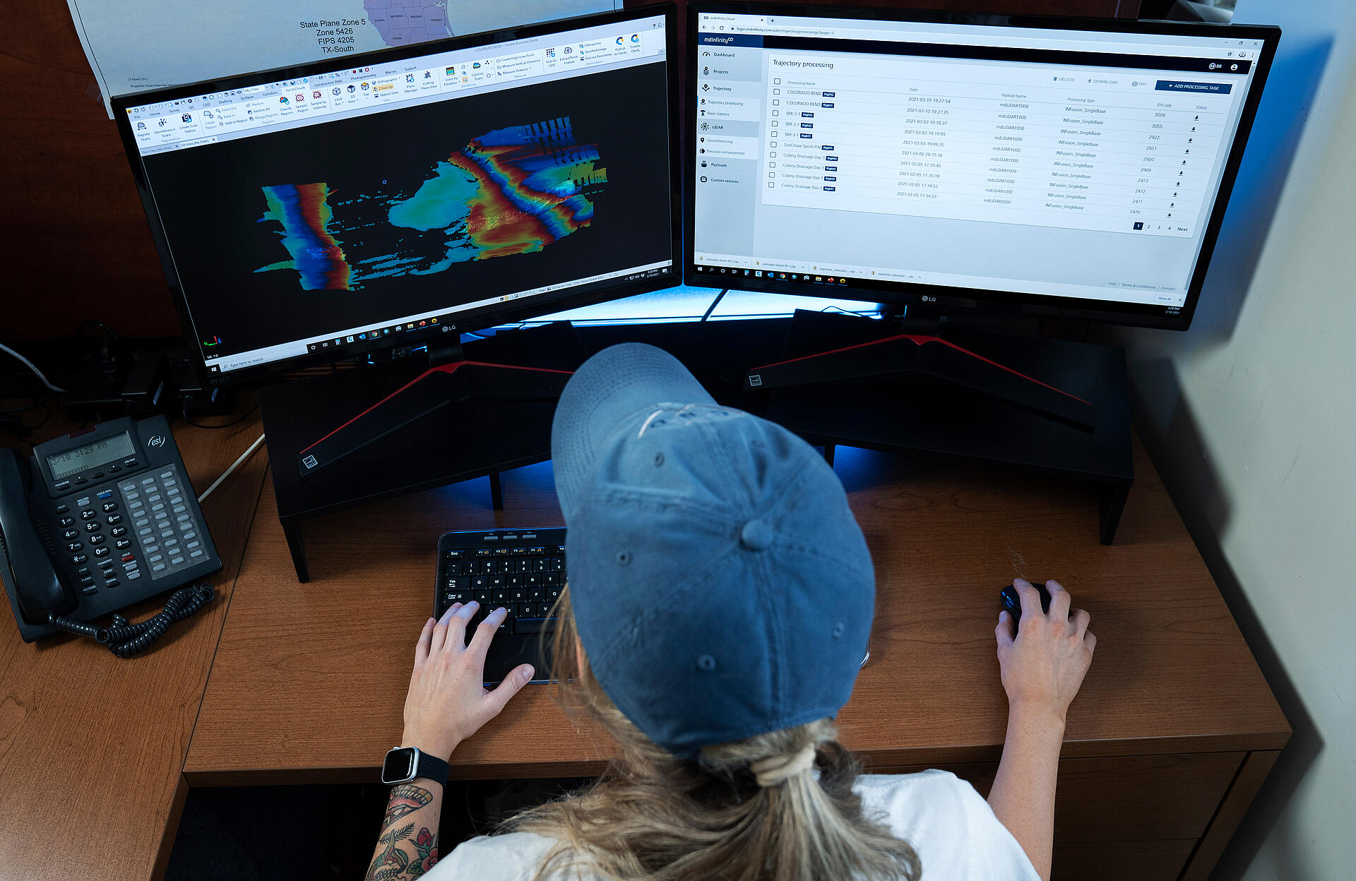
mdInfinity Cloud is a flexible cloud-based software that will enable you to access, process and archive your geospatial data, wherever you have an Internet connection. Complete Trajectory Processing, Georeferencing, and Boresight Calibration with convenient payment options.
In the video below, the Microdrones team gives you an overview of the new updates. The Release notes are summarized below.
mdInfinity Desktop 2021.4 and Cloud 2021.5 Updates
This video combines updates for both mdInfinity Cloud and Desktop
Ground Classification
Ground Classification is now available in both mdInfinity desktop and cloud. mdInfinity ground classification is a powerful way to segment bare- Earth points from objects and vegetation in 3D point clouds collected by LiDAR or photogrammetry. THe updated module allows the user to:
- Input a georeferenced point cloud
- Default terrain profiles
- Optimized values for each payload type
- Export the classified point cloud
Custom Services
With custom services the user has access to our geomatics specialists for data processing. All of our modules are available with custom services while FORMap and Point Cloud Direct Colorization are exclusive to Custom Services. The process is easy to use:
- Share your data
- Select the processing modules needed
- Describe the project requirement
- Download the processed data and final mapping deliverables.
Lidar Coverage Preview
The LiDAR Coverage Preview module is an easy to use workflow for users to check the quality of the Georeferenced Point Clouds. The LiDAR Coverage Preview quickly georeferences your Point Cloud. By introducing the raw LiDAR data and raw trajectory files (with no configuration whatsoever), the module provides a Point Cloud with the selected FOV in the Geodetic Datum WGS84. It’s not a full Georeferenced Point Cloud, but a fast baseline to validate the quality of your Point Cloud. Updates include:
- UI optimization.
- Automatic selection of the UTM zone
Trajectory Processing
The Trajectory Processing module is a user friendly workflow for users to process raw GNSS data (with or without base station), hybridize IMU and GNSS data to produce a smooth trajectory file and export it as a EO/sbet files in the desired coordinate system. In this update:
- Trajectory Processing- Support FORMap EO format
Token Estimator
This tool helps you calculate costs before you fly. With the Token Estimator you can simply specify your payload and basic mission parametes such as covered area, altitude, speed and overlap, and instantly receive an estimate for processing tasks (eg. PPK Single Base Trajectory Processing) and custom services.
- The Token Estimatoroption has been moved from User Accountto the Resourcessection.
Coordinate Reference System
Desktop & Cloud:
- Coordinate reference system available in Georeferencing and Strip Adjustment
- Support of new Coordinate Reference System:
- ED50 / UTM / zones 28N to 38N
- NAD83(2011) / UTM / zones 1N to 19N, 59N and 60N in USfeet
- Coordinate Reference System update:
- LUREF (2015 M-B) / Gauss
Cloud:
- Coordinate reference system added to Georeferencing and Strip Adjustment
- Support of new Coordinate Reference System:
- MGI / MGI Austria GK / zones West, Central and East
- SJTSK[03] / Krovak / zones Krovak and Krovak North
- Slovakian Geoid Model (DVRM)
- AUSGEOID98
If you would like more information on mdInfinity or how to add Microdrones to your workflow, speak with one of our friendly sales representatives.