Sphere Drones is a leading Australian provider of comprehensive drone products and application solutions for the commercial market. Proudly Australian-owned and an operating entity since 1954, their end-to-end system solutions create outcomes that are highly-functional, cost-effective and, most importantly, commercially successful.
Sphere Drones advances drone technology through custom and proprietary drone solutions for commercial applications.
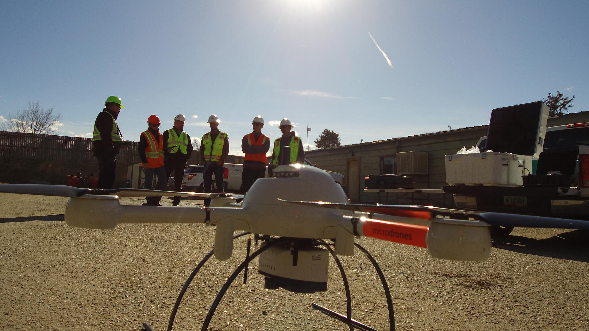
Recently, Sphere Drones just released a new video showcasing the features and benefits of the mdLiDAR1000. The mdLiDAR1000 from Microdrones provides a fully integrated solution taking you from Mission Planning to Point Cloud, while delivering thorough Georeferenced Data that you can rely on.
LiDAR vs Photogrammetry
Watch the video and learn how LiDAR can save you time by skipping steps 1 and 2 of the Photogrammetry process. The camera captures the point cloud directly and the mdLiDAR software produces the 3D pointcloud for processing. Furthermore, the mdLiDAR1000 provides up to three returns, allowing you to capture the ground underneath any trees and foilage.
Professionals responsible for geospatial data collection should consider mdLiDAR1000 for the following tasks:
- Corridor mapping
- Mining (volume calculation)
- Construction site monitoring
- Environmental changes (time series)
- Forestry
- Contour mapping
- Leveling/Excavation
- Archaeology and cultural heritage
- Highway construction
Sphere Drones has a Sydney-based headquarters that operates as solutions development facility, allowing existing and prospective clients to work in tandem with the Sphere Drones team to create custom and often proprietary commercial drone solutions. Their partnership with Microdrones will further enhance this ability.
If you’re interested in putting the mdLiDAR1000 to work for you, schedule an appointment with our friendly team today.