The anticipated mdGeoTagger is here! The software team is very proud of this development.
Here’s a preview of the app:
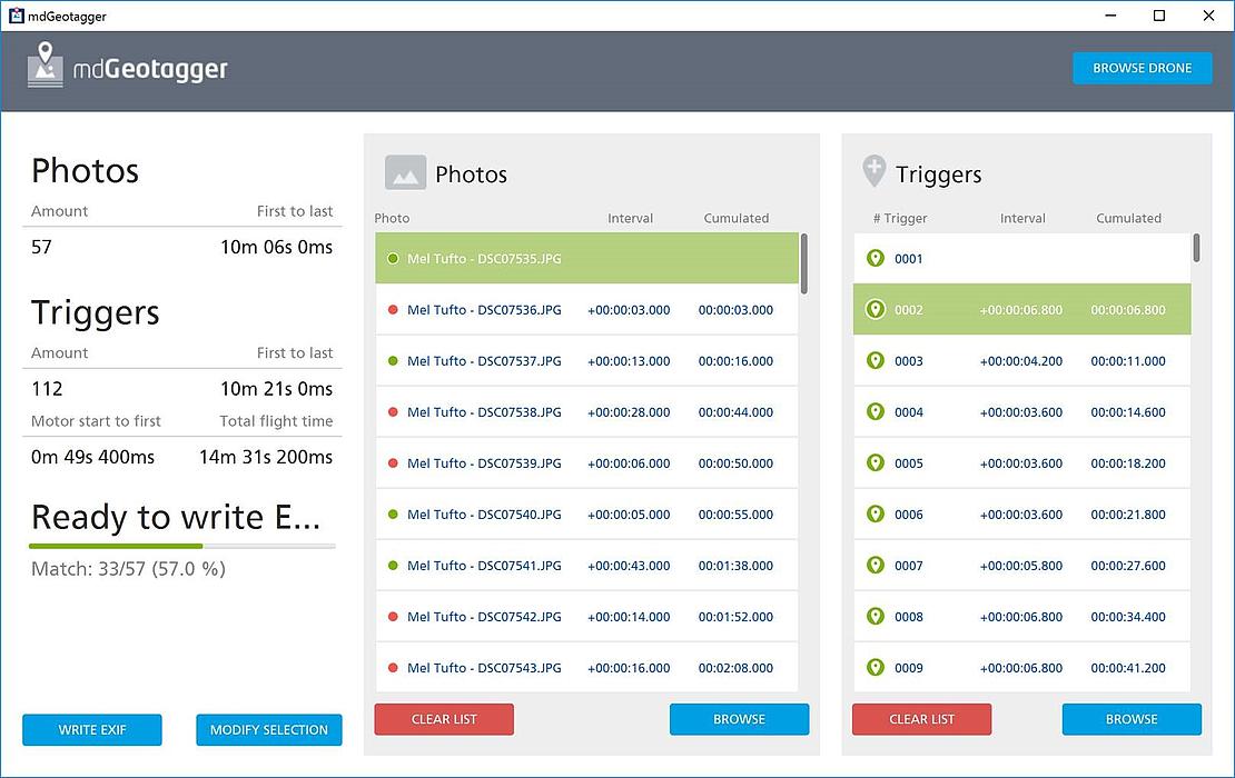
mdGeotagger will be released soon and the team tells us it will allow users to complete their work more easily and with better accuracy. Below are a few quotes from the team on why this is such a great development:
- “mdGeotagger will simplify the post-flight workflow. mdCockpit is a really advanced software and often users don’t use all of its features. mdGeotagger is a simplified tool that provides just the basics users need after the flight. They can quickly fetch their flight logs and tag photos.”
- “Users can now communicate with the drone via Bluetooth. This is much easier because they won’t need to take the SD card out of the drone. They can just connect to the drive via wireless connection.”
- “mdGeotagger allows users more flexibility than our competitors do. Most of our competitors use cameras that have their own geotagging systems, either something that comes with geotagging or something they developed on their own. So with their systems, the camera choices are limited. With Microdrones and mdGeotagger, they can use any camera they want and still be able to tag the photos.”
- “mdGeotagger allows users to review the overall quality of their flights. Some cameras are just not well-integrated. This software will let them know what percentage of their photos are a good match.”
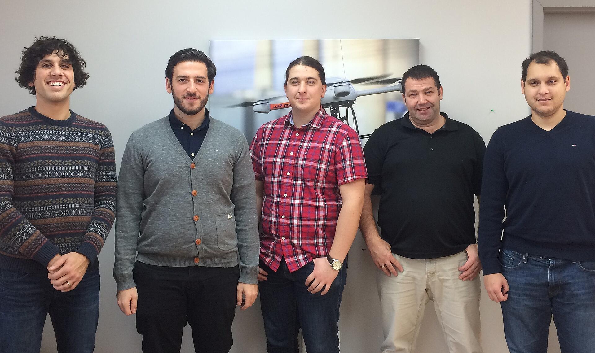
The mdGeotagger development team, from left to right: Olivier Dupras-Tessier – Product Owner, Maurice Baruk – Software Development Manager, Eric Bottazzi – Developer, Patrice Mainville – Developer, Rafael Noronha – Developer