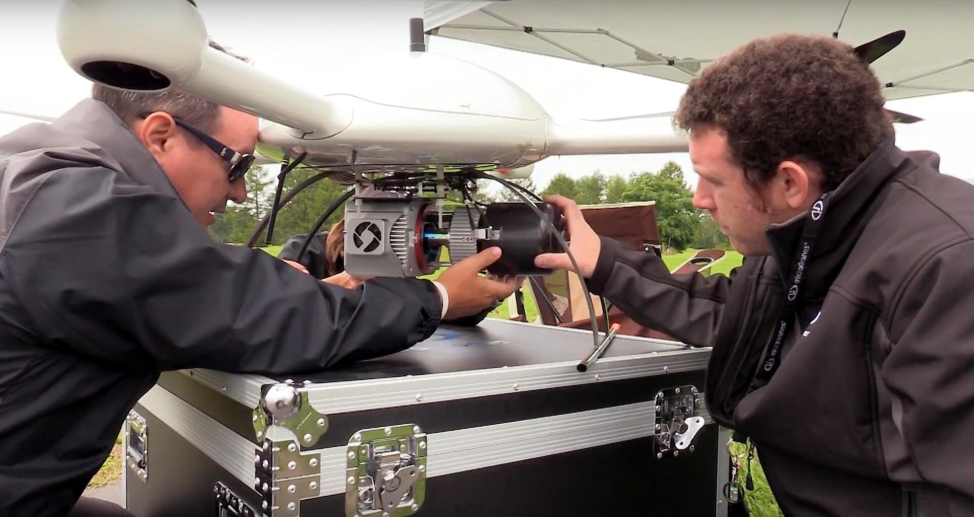
The Microdrones mdSOLUTIONS team is developing a full lineup of mapping solutions that incorporate LiDAR with the power of direct georeferencing.
The product line will give geospatial professionals powerful tools for surveying and mapping, to efficiently create detailed terrain models.
One key advantage of LiDAR is that it enables the user to achieve a full ground model, even in the presence of leafy trees and vegetation.
See more of what the team is preparing in this quick video: