
This week, Microdrones is excited to play a role in the American Society for Photogrammetry and Remote Sensing’s (ASPRS) Imaging & Geospatial Technology Forum (IGTF) in Baltimore, Maryland. The experts of ASPRS consider this forum to be the most fundamental GIS conference in the United States. It consists of interactive and informative workshops and presentations that share techniques and technology for improving mapping products and services.
Microdrones sponsored a workshop that will utilize data collected with one of our direct georeferencing systems and will also attend the conference to present information and answer questions on these systems.
Ideal for corridor mappping and land surveying, direct georeferencing is a much more efficient, accurate method for data collection and processing than traditional surveying methods, RTK, or PPK. Post-processing data collected from this direct georeferencing system can be accomplished in a fraction of the time.
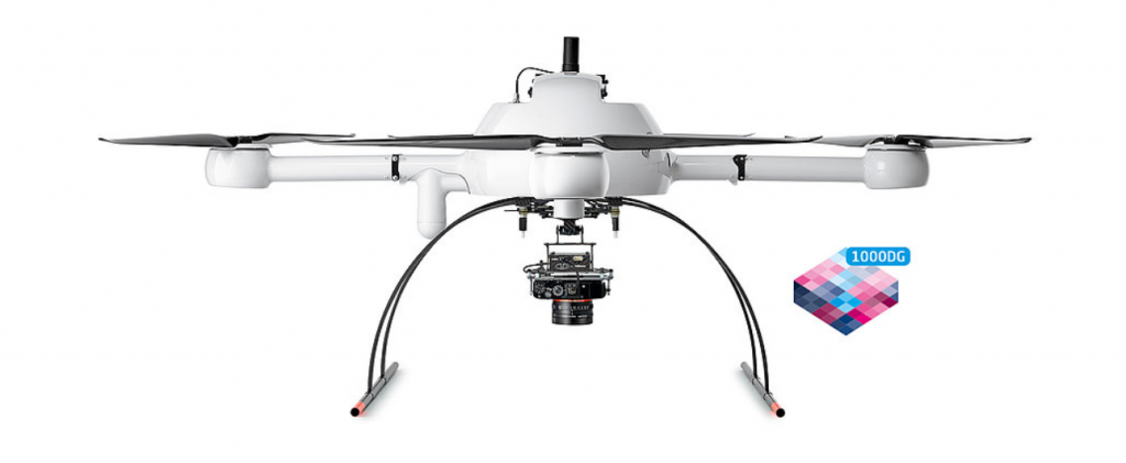
These benefits are accomplished by integrating an Applanix APX-15 UAV into the system. This device combines a highly accurate GNSS receiver with an inertial measurement unit that provides precise orientation angles of the UAV.
Learn more about our mdMapper1000DG system.
Direct georeferencing is also available as part of our mdMapper3000DG solution and can be combined with LiDAR.
