
Learn about the entire product line from GeoCue including the new dual purpose mobile mapping sensors
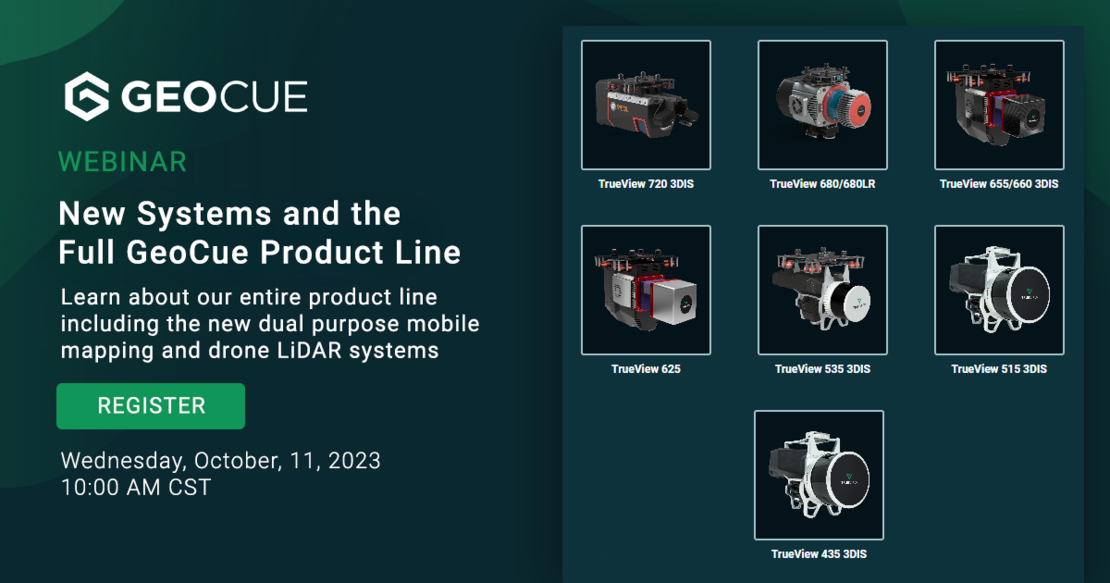
Exciting News! Join us for a webinar reviewing all our products for surveying and aerial mapping: New Systems and the Full GeoCue Product Line. From the ground to the sky, our drone mapping sensors encompass a full range of entry to advanced-level systems for collecting photogrammetry and LiDAR.
Discover the Latest in Aerial and Mobile Mapping and Surveying
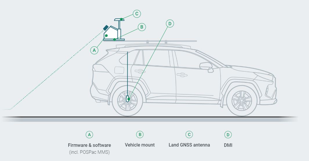
Now Available: Addition of Mobile Mapping Capability via Vehicle Mount and Integration. GeoCue now offers customers a flexible TrueView lineup that enables users to collect data from the air, or via mobile mapping rig. Setup is easy and intuitive, giving users the ability to complement their aerial data with data captured from a ground vehicle. These survey-grade systems offer unmatched high-speed data acquisition, ensuring superior accuracy and efficiency in aerial mapping and surveying projects.
DATE: Wednesday, October 11, 2023
TIME: 10:00 AM CT
Why TrueView:
When you work with GeoCue, you get everything you need for your drone mapping projects from hardware and software to training, support, and data management.
Drone mapping makes acquiring, processing, and analyzing data more efficient and accurate. GeoCue's drone mapping solutions encompass a full range of entry- to advanced-level systems for collecting photogrammetry and LiDAR.
With our expertise, we educate users on the best platforms to successfully meet surveying requirements. We offer drone platforms, TrueView LiDAR/imagery sensors, and mapping software solutions that enable users to perform high-accuracy 3D drone mapping.
The TrueView product line-up offers innovative drone LiDAR and photogrammetry solutions integrated in lightweight payloads. They allow for fast, easily automated generation of true 3D colorized point clouds, oblique imagery, and orthophotos from a single drone flight.
Don't miss this opportunity to learn about the latest aerial mapping and surveying technology! Join us for our highly informative webinar, where our expert, Madelyne McNab will walk you through the capabilities and applications of our complete TrueView 3D Imaging Systems product line-up.
Who should attend?
- Professionals in the surveying and mapping industry
- Aerial imaging and remote sensing experts
- Geographic information system (GIS) specialists
- Infrastructure and construction professionals
- Anyone interested in the latest advancements in survey-grade technology
Limited spots available! Reserve your spot today by registering HERE. Save the date and share this exciting event with your peers who prefer to work with cutting-edge technology!