The April/May 2019 edition of Inside Unmanned Systems featured a story “LiDAR: Going Beyond the Photogrammetry.” The article examines how drones are changing the way the construction industry manages sites and provide more detailed information more often.

Rick Rayhel, Microdrones Sales Manager for the Western United States.LiDAR has the ability to penetrate through multiple layers, such as a tree canopy, to see all the way to the ground.
As Seen in Inside Unmanned Systems
April / May 2019
by Renee Knight
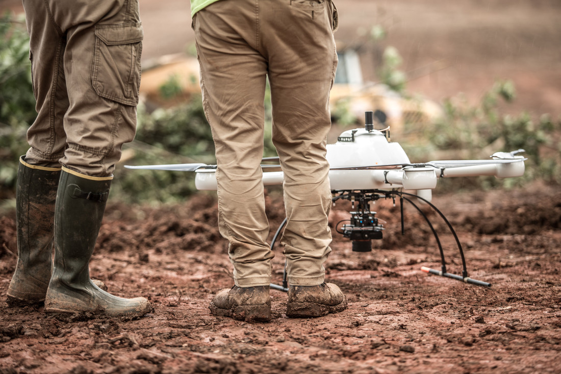
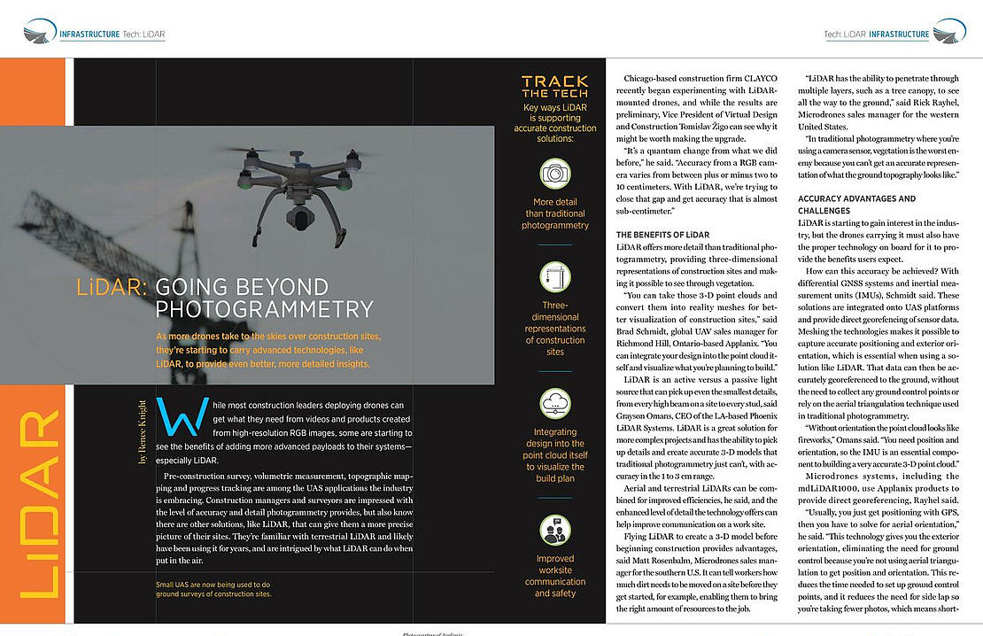
As more drones take to the skies over construction sites, Inside Unmanned Systems reports how they’re starting to carry advanced technologies, like LiDAR, to provide even better, more detailed insights.
In the article, both Rick Rayhel, Microdrones Sales Manager for the Western US, and Matt Rosenbalm, Microdrones Sales Manager for the Southern US, provide their expert insight into how LiDAR systems, like the mdLiDAR1000 or mdLiDAR3000, are helping construction companies work smarter by saving time and reducing costs.
“Flying LiDAR to create a 3-D model before beginning construction provides advantages,” said Matt Rosenbalm. “It can tell workers how much dirt needs to be moved on a site before they get started, for example, enabling them to bring the right amount of resources to the job.”
“LiDAR has the ability to penetrate through multiple layers, such as a tree canopy, to see all the way to the ground,” said Rick Rayhel. “In traditional photogrammetry where you’re using a camera sensor, vegetation is the worst enemy because you can’t get an accurate representation of what the ground topography looks like.”
Click the link above to read the complete article.
If you have questions about implementing a UAV LiDAR system into your workflow, click here to speak to one of our helpful representatives, today.