It’s dangerous out there. Slips and falls, bugs and bites, snakes and wildlife… There’s a lot of field obstacles to avoid in the life of a surveyor. According to the National Safety council, in 2020 jobs in construction, agriculture, and forestry had the highest level of preventable accidents; all occupations where the services of a surveyor come in very handy.
Safety for the surveyor is always one of the highest priorities on the job. Using drone surveying equipment, like the fully integrated systems from Microdrones, is becoming much more widespread, since drones can help prevent accidents, exposure, and falls. In the video below, we highlight 5 Ways Drone Surveying is Improving Worksite Safety.
One of the main benefits of utilizing drones in the field of surveying are the many safety advantages the technology provides. Let’s take a closer look at five ways drone surveying is improving worksite safety.
1. Perform land surveys away from dangerous terrain.
Drone Technology allows surveyor to collect data faster without having to access ravines, mountain sides, or other unsafe terrain. Matt Lackey, UAS pilot for SAIN Associates uses the mdMapper1000DG, to help stay out of harm’s way. At one of his projects, not only did the terrain make the initial ground survey challenging, the park they were working in was built around mines. It was critical to locate those structures and preserve them for historical value, and to ensure no one stumbled into something that could cause an injury.
By using the system from Microdrones, Lackey said, “You don’t have someone outside on the side of a mountain running from poisonous snakes or tripping or falling or any of that. There’s a safety factor that’s really beneficial.”
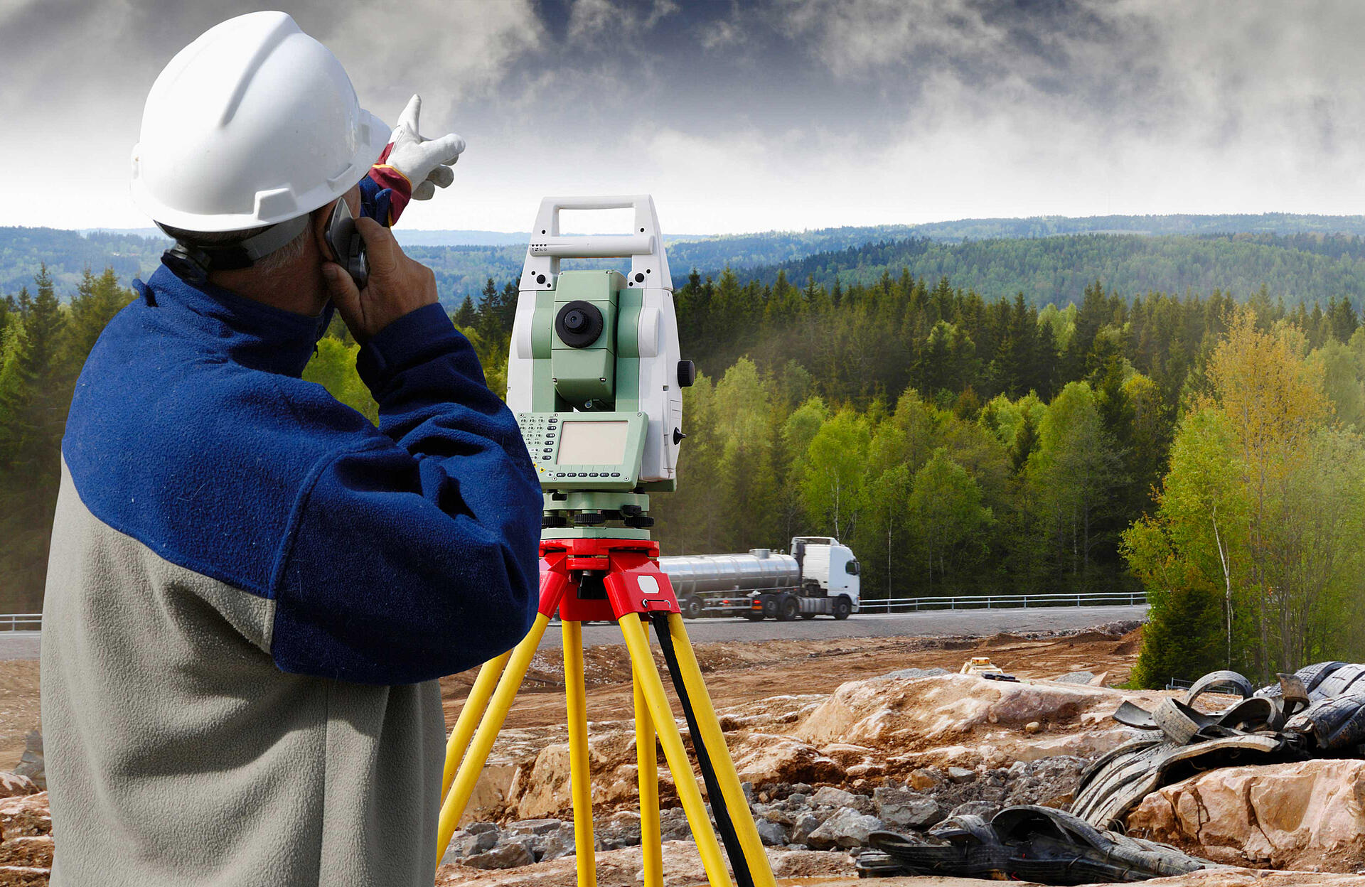
2. Stay clear of construction equipment
According to the National Safety council, in 2020 construction sites had the highest level of preventable accidents. Using drone LiDAR to verify fill levels keeps surveyors and construction workers away from equipment or walking through hazardous areas.
Josh Adams, SIT, a SUAS pilot for Adams Surveying has been using drones, like the mdLiDAR1000HR, to monitor and verify fill levels on construction sites, from a safe distance from active construction. “We use the drone to verify the roads, pads, and lots,” Adams explains. “We’ll do this before, during, and after construction, so we always have to be aware of our surroundings and on the lookout for construction equipment. By deploying the drone, we can usually pick one safe vantage point to cover the entire area and collect all the data we need.”
Matt Lackey, UAS Pilot, SAIN AssociatesYou don’t have someone outside on the side of a mountain running from poisonous snakes or tripping or falling or any of that. There’s a safety factor that’s really beneficial.
3. Drone Surveying elevates safety in mining operations
UAV mapping keeps miners safe and out of harm’s way, particularly during the assessment of dangerous environments like stockpiles and large quarries.
According to Lackey safety also plays a huge factor in another application where SAIN Associates deploy their Microdrones system. The team uses the drone to fly over a paper mill. When the wood is burned off, the ash gets pumped into a pond, and that pond needs to be surveyed both when its full and empty so the client knows how much has been removed. Before, a person had to go into the pond to collect the needed information as it was being dug out, a difficult task that’s better handled by a drone.
“When you see the pond, it looks like ground but it’s soupy quicksand. You see tracks from deer who walk in but never walk out,” Lackey said. “The drone increases the safety factor and gives a more accurate representation of what’s actually there.”
4. Keep off or away from busy roads
Drone Lidar greatly reduces the time Transportation Department workers spend working in or near moving traffic. The Mississippi Department of Transportation (MDOT) uses Drone LiDAR to improve efficiency and safety in the construction and maintenance of road projects around the state.
The mdLiDAR1000LR allows MDOT workers to perform tasks in the field much faster than using traditional measuring tools. The technology will also increase safety for MDOT workers, greatly reducing the time they spend working in or near moving traffic.
Evan Wright, from the planning division at MDOT, explains how the drone LiDAR technology is being used. “We use it to take measurements on the roadway, so a lot of the data we have to report to the Federal Highway involves things like lane widths, shoulder widths, and things such as that. Before, when we’re measuring that, we’d actually have to get out in the field, either using a tape measure or a distance wheel, and physically be in the road.” The system from Microdrones greatly reduces that risk.

5. Inspect power lines and utilities with limited exposure
Safely create highly detailed 3D point clouds with Drone Lidar to evaluate Powerline corridors, structures, and areas of concern.
Lucas Harris, a professional land surveyor with AGE Engineering worked on a utility project that involved a small “slide” on the side of a mountain where transmission lines ran through. The ground at the base of the transmission structures began to fail and the power company needed to map the slide, wires and structure. Harris was able to fly the corridor with an mdLiDAR3000DL in a day without ever putting any workers near the slide.
“It would have taken three or four days to maybe a week to cut lines through the woods and traverse with a total station with a couple guys running rod,” he said. “The guy running the total station would have had to take shots maybe every 20 feet or so to build a surface and shoot all the attachment points on the transmission lines. Certainly, the big advantage is we did that job in one day and came home. And we got 100 times more data and it took maybe a fifth of the time to capture it.”
Are you ready to add drone surveying equipment to help improve safety? Just talk with one of our sales experts today and learn how you can eliminate the need to place people in dangerous environments.