Here's some TESTIMONIALS
From OUR CUSTOMERS:
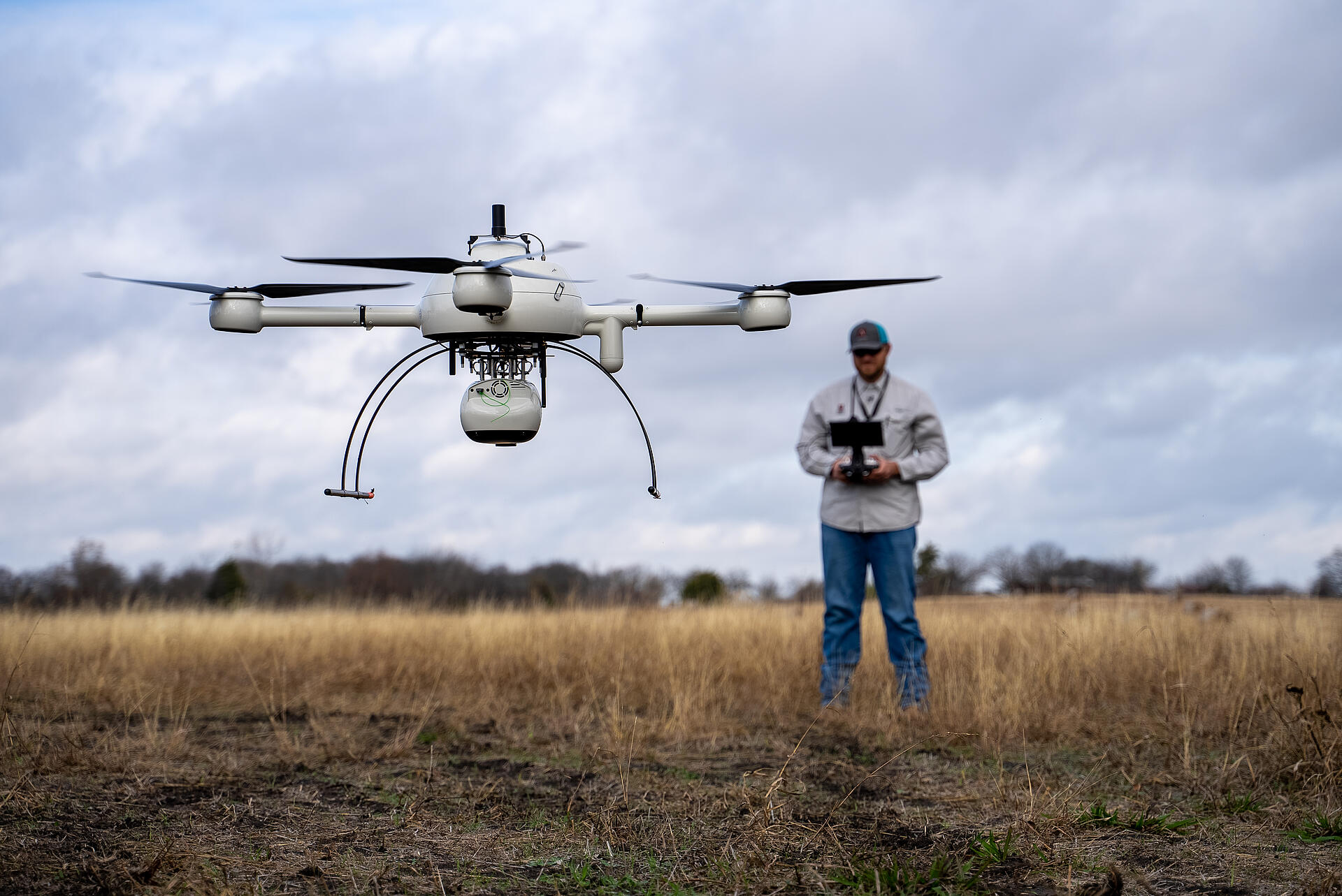
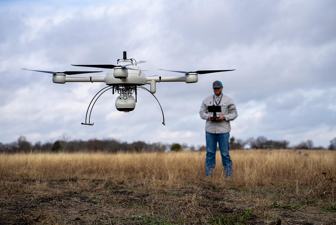
Are you one of the many geospatial professionals thinking about adding drone surveying equipment to your toolbox? Traditional surveying methods can be time consuming, challenging, and expose workers to hidden dangers and risks. By adding drone surveying equipment to your workflow, you’ll be able to significantly reduce time spent in the field, create more opportunities to grow your business, and deliver unparalleled data quality.
Since 2005, Microdrones has led the market for professional drone applications and today, more than 1,500 businesses worldwide trust Microdrones. Watch the video below and see what some of our customers are saying about using drone surveying equipment from Microdrones.
Here's some more examples of how using drone surveying equipment from Microdrones helps our users collect data efficiently and safely while cutting costs, saving time, and converting data into useful information.
DRMP Inc.
DRMP Inc. specializes in civil engineering, surveying, and mapping throughout the Southern United States. According to August Thick, the Charlotte Surveying/Geospatial Manager for DRMP, they invested in the mdLiDAR3000 in 2020 and the team typically flies the system once a week or even more for bigger projects. They combine the drone-collected LiDAR data with their mobile and terrestrial LiDAR solutions, which has proven to be a significant time saver.
“All of our terrestrial and mobile scanners are Riegl, so we were drawn to the Microdrones system because we could equip it with the miniVUX-3UAV,” Thick said. “We also liked that it was a complete solution. We didn’t have to build a system and try to make everything fit. It was already retrofitted to the scanner and all the offsets were calculated. The fact it’s built in Canada and not in China is also a benefit, as we do a lot of federal jobs that don’t allow us to use Chinese-made drones.”
Richard Nagel, Survey Technician/Crew Chief, Fox and AssociatesWe’ve used the mdLiDAR1000HR on a few sites that were 90% wooded and produced topographic surveys that we used for base drawings or engineering design work. Using the drone for these flights decreases field time and helps with the safety factor. Crews don’t have to be in dangerous areas of the site.”
Fox and Associates
Fox & Associates, a Maryland-based surveying firm, invested in two Microdrones systems, deploying both the mdMapper1000DG and the mdLiDAR1000HR to produce accurate topographic surveys and volumetric calculations.
The goal was to create topographic surveys that the team would use for in-house work, reducing the time crews had to spend in the field while also producing a better deliverable for clients. For Survey Technician/Crew Chief Richard Nagel, it was important to find an end-to-end solution that didn’t require him to make separate hardware, payload, and software purchases.
“I looked at other companies and it seemed like the Microdrones system was the most comprehensive and professional,” Nagel explained. “It’s just a well put together product. We’ve used the mdLiDAR1000HR on a few sites that were 90% wooded and produced topographic surveys that we used for base drawings or engineering design work. Using the drone for these flights decreases field time and helps with the safety factor. Crews don’t have to be in dangerous areas of the site.”
Aerisurvey
Aerisurvey, based in Mangualde, Portugal is a photogrammetric consulting firm specializing in using drone surveying equipment. Nuno Santos, founder and CEO sets his company apart from the competition by providing only the best possible data, so going with Microdrones was a no-brainer. “With Microdrones we get maximum quality and unprecedented reliability,” Santos said.
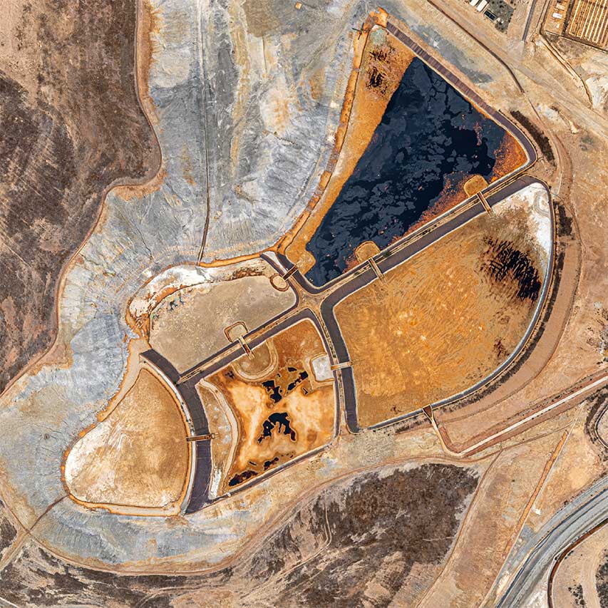
The mdMapper1000DG has become an essential and crucial tool for Aerisurvey whether they’re operating in quarries, open pit mines, urban surveying projects, or performing volume calculations. Comparing the results obtained with the Microdrones system against those delivered by traditional means is practically impossible, Santos said.
“I remember one very demanding quarry, about 30 hectares in area, with numerous embankments and a lot of variations in altitude. We had to set up 14 different total station bases and it took us three weeks to finish the job. Today, with our Microdrones system, we can do that same job in one day, and we get immensely superior results, with a level of detail impossible to achieve with traditional methods.”
Lee Drennan, Research & Development and Training DirectorWe’ve used the mdLiDAR3000 for landfills, construction projects, and marsh restoration areas because the LiDAR really lends itself to anything involving volume calculation. Not only can we do the project faster and more efficiently, but we can provide a better product since the LiDAR point cloud is so dense.
Morris P. Herbert, Inc.
The team at Morris P. Herbert, a family-owned land-surveying, GIS, engineering, and environmental services company, has grown its drone surveying services based on the integrated systems offered by Microdrones.
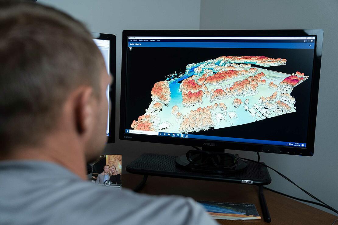
According to Lee Drennan, the Research and Development Director, they initially selected the mdMapper1000 to assist with their photogrammetry needs and then added the LiDAR package once they were ready. Not long after that, they began flying powerline corridors for an electrical utility, which required an even more advanced LiDAR to clearly see the powerline connections. They found that in the mdLiDAR3000DL.
“With photogrammetry, you only get what the camera can see,” Drennen said. “LiDAR has the ability to penetrate things like tree canopies, even grass, to get you a more accurate representation of the actual ground surface.”
The team acquired another mdLiDAR3000, and between all its systems MPH has flown more than 600 flights. Beyond the powerline corridors, the team also uses the systems for large topographic surveys, to map containment levies, to measure stockpile and landfill volumes, and to track volumes and make comparisons.
“When I first saw the Microdrones systems I was very impressed with the engineering and quality of the product,” Drennen said. “We’ve used the mdLiDAR3000 for landfills, construction projects, and marsh restoration areas,” Drennan said, “because the LiDAR really lends itself to anything involving volume calculation. Not only can we do the project faster and more efficiently, but we can provide a better product since the LiDAR point cloud is so dense.”
Adams Surveying
In Richardson Texas, Adams Surveying continues to expand its business by using drone LiDAR to quickly perform construction verification, asset classification, and to monitor overall progress. Monitoring pre and post-development projects from start to finish is key to ensuring the accuracy and success of the overall design plan. They’ve found that using drone surveying equipment offers huge time savings over manual measurement on the ground.
“Using the system from Microdrones provides us tools we don’t have in our toolbox,” said the owner of Adams Surveying, Phillip Adams, RPLS. “Conventional surveying is timely, labor intensive, and there’s some hazards and dangers to it. Deploying a system from Microdrones over the site really provides us a quick picture of what’s going on. “Using the tools available to us, we can provide survey-grade accuracy to the data we’re providing the client.”
AllTerra Central
A client of Microdrones distributor AllTerra offered this feedback about his winning experience:
“We’ve been blown away by how easily the mdLiDAR1000HR and mdInfinity platforms have integrated into our workflow. Our original goal for a LiDAR drone was to survey multiple heavily wooded projects of more than 200 acres each. Our estimate was a four-man crew with survey gear and machetes spending a week or more on each site. With the mdLiDAR1000HR and mdInfinity, we surveyed each project within a day and had a georeferenced CAD surface generated from the object-classified point cloud by the afternoon".
“We’re astonished by the time saved and the reduction in effort, and even more amazed at the quality and amount of data. Most of the areas surveyed would have been unwalkable without significant brush clearing, yet the system was able to get survey-grade ground data even through all the brush, tall grass and tree coverage.”
The bottom line: “We no longer need to add days of time to a project for processing alone and can get straight to work and the data our field crews have collected. We’ll keep you on the loop on all our successes as they keep coming in.”
Spatial Data Consultants
Traditionally, the documentation of As-Built construction surveys relied on conventional methods such as total stations and digital photogrammetry. In High Point, North Carolina, the team at Spatial Data Consultants (SDC), a geospatial consulting firm, uses drone LiDAR technology from the Microdrones expert drone line to more efficiently create accurate and precise As-Built Surveys.
Mark Schall, Owner and Chief Professional Officer at Spatial Data Consultants explains how the company has transitioned from using manned fixed wing and helicopter aircraft to drone surveying systems like the mdLiDAR3000.
“Initially the company was based off traditional photogrammetry using fixed wing and helicopter aircraft,” said Schall. “We’ve now transitioned into drone and UAS systems for all of our Lidar and photogrammetry. The one thing we pride ourselves on is the level and competence and expertise we have in our personnel. Microdrones was critical in getting our program off the ground in 2018 and helped all of our staff transition into the UAS workflow.”
Let us know what projects you’re using fully integrated systems from Microdrones for. Or, if you’d like to see how you can start using drone surveying equipment to work safer and more efficiently, get in touch with one of our friendly sales representatives today.