Propelling: The Sky’s the Limit with LiDAR Technology
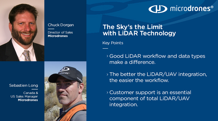
with Chuck Dorgan and Sebastien Long
The Lidar technology market’s expected growth is up to USD 2.2 billion by 2024, according to Markets & Markets. The adoption of Lidar systems in UAVs is a contributing factor to this expanding growth. Chuck Dorgan, Microdrones director of sales for the Americas, and Sebastien Long, Microdrones Canada & US sales manager, shared their perspectives on the Lidar boom with host Daniel Litwin in this episode of Propelling.
The growth of Lidar
The Lidar market is experiencing tremendous growth as the technology continues to be refined and applications for Lidar evolve. One area that is helping contribute to this growth is drone-based Lidar, especially as the Lidar sensors are continuing to get smaller and more affordable.
“In general, we've seen Lidar sensors basically getting smaller and smaller and there's more sensors being offered by companies worldwide,” says Sebastien Long, Microdrones sales manager for the Northeastern US and Canada. “However, attaching a Lidar sensor to a drone doesn’t automatically create a solution. It's all a matter of how it's done, the workflow behind the sensor, operator experience and how to blend this altogether. New Lidar users are still experiencing a learning curve.”
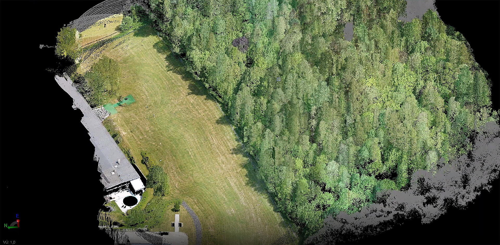
Chuck Dorgan, US sales director for Microdrones agrees. “The Lidar industry is growing extremely fast as the marketplace becomes more educated and aware of this technology,” Dorgan says. “We’re starting to see a snow-ball effect as more professionals begin to understand the benefits. For example, in photogrammetry, creating a digital surface model can be a two-day ordeal to process all the images needed to create an ortho to produce a point cloud. With the Microdrones mdLiDAR software and solution, you can be generating a point cloud within 30 minutes after your flight. That's some powerful stuff. When you can generate a one-foot contour that quickly in the same day you've been flying, it really demonstrates the value of the system and creates a whole new demand.”
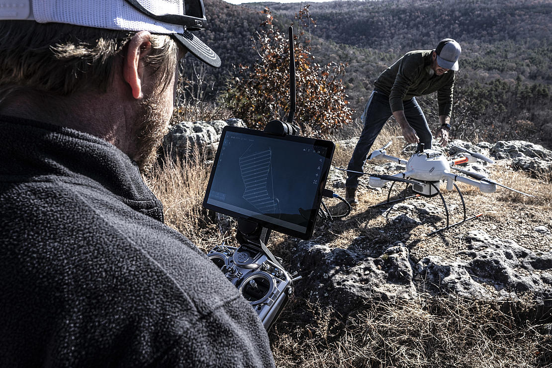
The ability to not only have robust Lidar technology on a UAV, but also be able to analyze the data from the technology, is also driving the market forward. Microdrones is widely recognized for its Lidar technology leadership and their ability to help early adopters manage Lidar for land surveying, construction, oil & gas, and mining applications. Microdrones provides the entire workflow from the drone, the mission planning, collecting of the data, to the processing of the data.
“It's not as easy as just suspending a Lidar sensor underneath your drone,” explains Long. “Microdrones and our teams provide the very best integrated solutions, sensors and service on the market today and that's what's really important. The better the integration, the easier the workflow gets for every client.”
Chuck Dorgan, Microdrones US sales directorWith the Microdrones mdLiDAR software and solution, you can be generating a point cloud within 30 minutes after your flight. That's some powerful stuff. When you can generate a one-foot contour that quickly in the same day you've been flying, it really demonstrated the value of the system and creates a whole new demand.
The complete package
The complete package is something that Microdrones specializes in. By pairing robust drones with cutting-edge sensors, Microdrones offers advanced turn-key solutions that make it easy for businesses to start using UAVs for surveying, mapping, and other commercial applications. Service beyond the sale helps differentiate Microdrones from other UAV providers.
“Customer support is something that the industry is having a hard time with and I believe Microdrones provides the best customer support in the industry,” says Long. “This is very important. We don't want our clients to be left on the side after they’ve purchased one of our systems.”
“Our support and our fully integrated systems absolutely sets Microdrones apart from the competition,” Dorgan says. “A lot of our competitors are black box solutions where it really isn’t an integration but more of an attachment by hanging a Lidar sensor on their airframe. They don't own the whole process and they don't have a workflow. What we've done with our full integrated system is we're telling that sensor when to turn on and scan and when to turn off. Therefore, when you land, you already have a fairly clean dataset.”
Extensive customer support is one of the primary competitive advantages that sets Microdrones apart from the rest of the field. In addition, their entire system integration helps clients and end-users save time and money in the field to help increase their bottom line. From mission planning, flying, processing the data and creating the final visualization, the Microdrones team offers complete support.
Dorgan points out another unique benefit of working with Microdrones. “We don’t have to worry about having a different airframe, different third-party software and different third-party sensors. We own the entire process. If we're using Regal sensors, we don't require our customer to interface with Regal. So, if there's a problem with the sensor, it comes back to Microdrones and we deal with it. And we've got a lot of customers that will agree we're one of the best out there because we own it and we back our products 100%.”
Knowing your customers
Drone Lidar has a number of applications ranging from engineering and surveying to construction, mining and more. In order to bridge the gap between those different industries, Microdrones relies on their people to help provide a one stop solution, build relationships, educate their customers and really understand the needs of Lidar technology in all these different industries.
“Microdrones is very in tune with our customer base,” explains Dorgan. “Everyone in the company throughout the whole buying and selling process of our solutions gets involved. We can adapt and change quickly to market demands. And we're always constantly looking for feedback, not just for the drone and the integration, but also the software. In fact we'll soon have some exciting news about how we're developing our mdLiDAR software in the mdInfinity software suite. There's other things that are going to be coming out in 2020 that are very exciting that were directly related to customer requests.”
Developing strong relationships and partnerships help customers identify and resolve unique challenges. Sebastien points to the Mining industry. “Often times, mining companies rely on photogrammetry for calculations. However, due to the depth of open pit mines, sunlight and shadows can be an issue. There's a lot of advantages of using Lidar.”
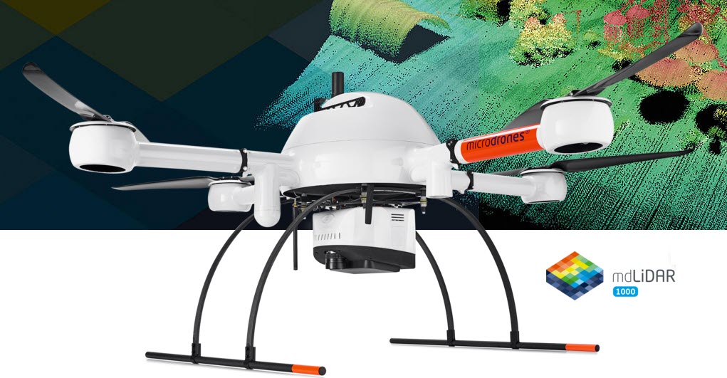
Many of the customers that work with Microdrones can speak to the advantages of using Lidar. AERIUM Analytics, a Canada-based unmanned aircraft systems service provider, uses the Microdrones mdLiDAR1000 system to collect high quality Lidar data sets to be used for engineering and design by their airport clients.
AERIUM completed a project at the Edmonton International Airport in Alberta last October. The team deployed 10 flights in one day, covering two runways. They’re using the data collected to build engineer-based data sets on how the runways look structurally, helping to determine if any repairs are needed. They also plan to look at taxiways and aprons to help with design engineering and water management.
Another power user that takes advantage of mdLiDAR is Crafton Tull, a surveying and engineering firm in Arkansas, using Microdrones for land development, right of ways, pipelines and other surveying applications.
Crafton Tull employed both the mdLiDAR1000 and mdMapper1000DG to map a seven-mile corridor and provide their client with a topographic survey, a classified point cloud and up to date ortho imagery to create a high-resolution surface model that could be used for quantity verification.
Using conventional methods, this project would have taken about 12 working days in the field. The drone completed that part of the project in five. With the drone, Crafton Tull estimates they saved the client 66 percent in field work costs.
Lots of Lidar in the future
The market for drone-based Lidar is continuing to expand and the innovations in the software used to process the data will fuel that growth. “Not only are the sensors getting smaller and lighter,” Long points out, “but the software is getting more advanced and processing at a much higher quality. Users can review their data faster, easier and get much smoother results.”
“The software is really pushing the advancements,” says Dorgan. “When you need to do something repetitively and quickly, such as volume calculations to measure a pile of an aggregate at an open mine. In the past, due to costs and processing maybe you did that twice a year. Now, you can turn around that answer monthly or weekly at a much lower cost with a much higher degree of accuracy. These systems and software can also monitor earth and dams in areas where you have the potential for earthquakes. You’re able to deploy a drone using LiDAR and scan that area after some kind of seismic event to see what has changed much faster than you could with traditional surveying methods.”
If you would like to learn more about adding Drone Lidar into your workflow, CLICK HERE to schedule an appointment with one of our representatives.