A Transformative Partnership with GE opens new markets and benefits existing customers
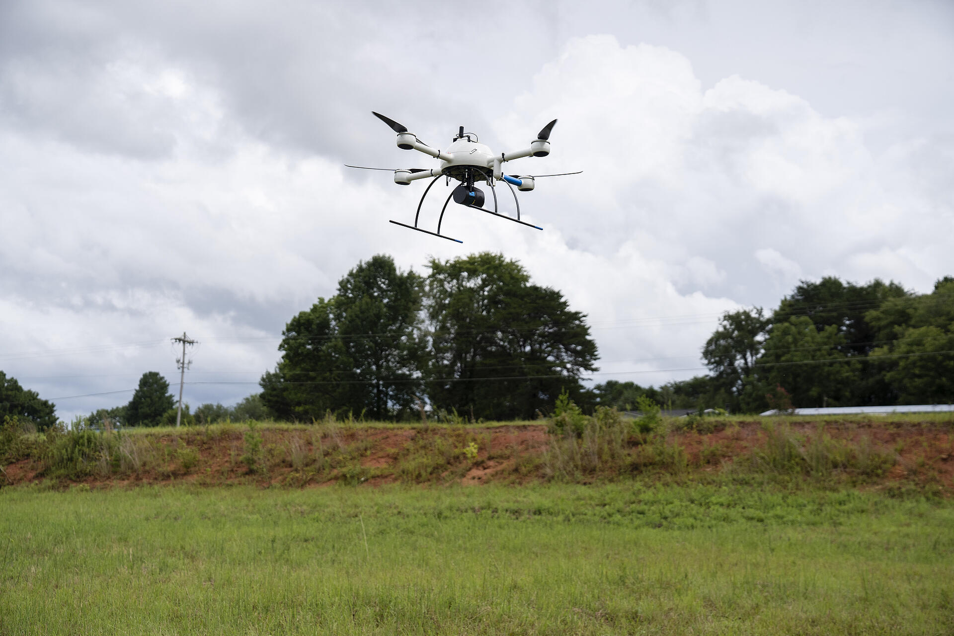
The new GE industrial drone line from Microdrones enhances already-proven drone surveying equipment.
Microdrones and GE have entered an exciting partnership that led to the development of the GE industrial drone line based on the existing Microdrones UAV platform, featuring new updates to efficiency and safety.
“GE's choice of Microdrones as its exclusive UAV partner confirms that we have become a global leader in our field, offering unrivaled, reliable, and value creating solutions, industrial customers,” said Microdrones CEO Vivien Heriard-Dubreuil. “The GE brand on our products makes it visible and credible for everyone. It also opens the door to more industry verticals that GE already services, and we'll unlock the potential of additional industrial applications.”
The partnership does not mean Microdrones becomes a part of GE – the two entities remain separate but have entered into a mutually beneficial relationship. GE is now a Microdrones investor, solidifying the relationship. GE also appointed a member of the GE licensing executive team to the Microdrones board of directors as an observer. The entire partnership is a tremendous asset for Microdrones, who benefits from the knowledge and feedback gleaned through GE’s extensive applications throughout the world.
The bottom line for existing customers is that they will not only enjoy the same level of quality and customer support they’ve already come to expect from Microdrones, but they’ll benefit from GE’s extended brand to offer GE-approved industrial tools for the creation and update of digital twins for surveying, construction, mining and other industries.
“The added benefit for Microdrones customers is knowing that GE is an iconic global company with success spanning more than 125 years,” said Mike Dziok, Microdrones vice president of global marketing. “GE brings industrial market expertise, global reach, a prominent reputation and experience scaling up industrial businesses – all good news for Microdrones and its customers.”
Even with all of the exciting changes, a few things remain the same: existing customers will contact the same sales managers they’ve always worked with at Microdrones. The same applies to billing and invoices. Microdrones is still Microdrones, just a better version with GE as a long-term partner.
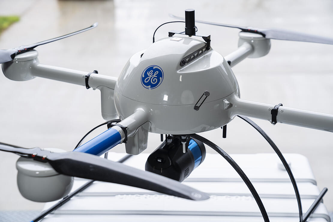
Now for the details of the already-improved offerings developed as a result of this partnership that adhere to GE’s rigorous and specific needs. The GE industrial drone line is based on the md4-1000 platform from Microdrones, already famous in the UAV market and proven in the field. As a note, the existing Microdrones 3000 series has become part of the Microdrones expert line.
Vivien Heriard-Dubreuil, Microdrones CEO Vivien Heriard-DubreuilThe GE brand on our products makes it visible and credible for everyone. It also opens the door to more industry verticals that GE already services, and we'll unlock the potential of additional industrial applications.
As part of this relationship, the GE industrial drone line has some new benefits as part of “Version D” which are specifically suited for industrial applications. These include a 10% increase in motor efficiency as well as LED light rings to provide enhanced visibility with color schemes that are configurable in accordance with requirements that vary across the globe. The systems are also Remote ID Enabled for increased safety and compliance and include a new ground collision avoidance feature.
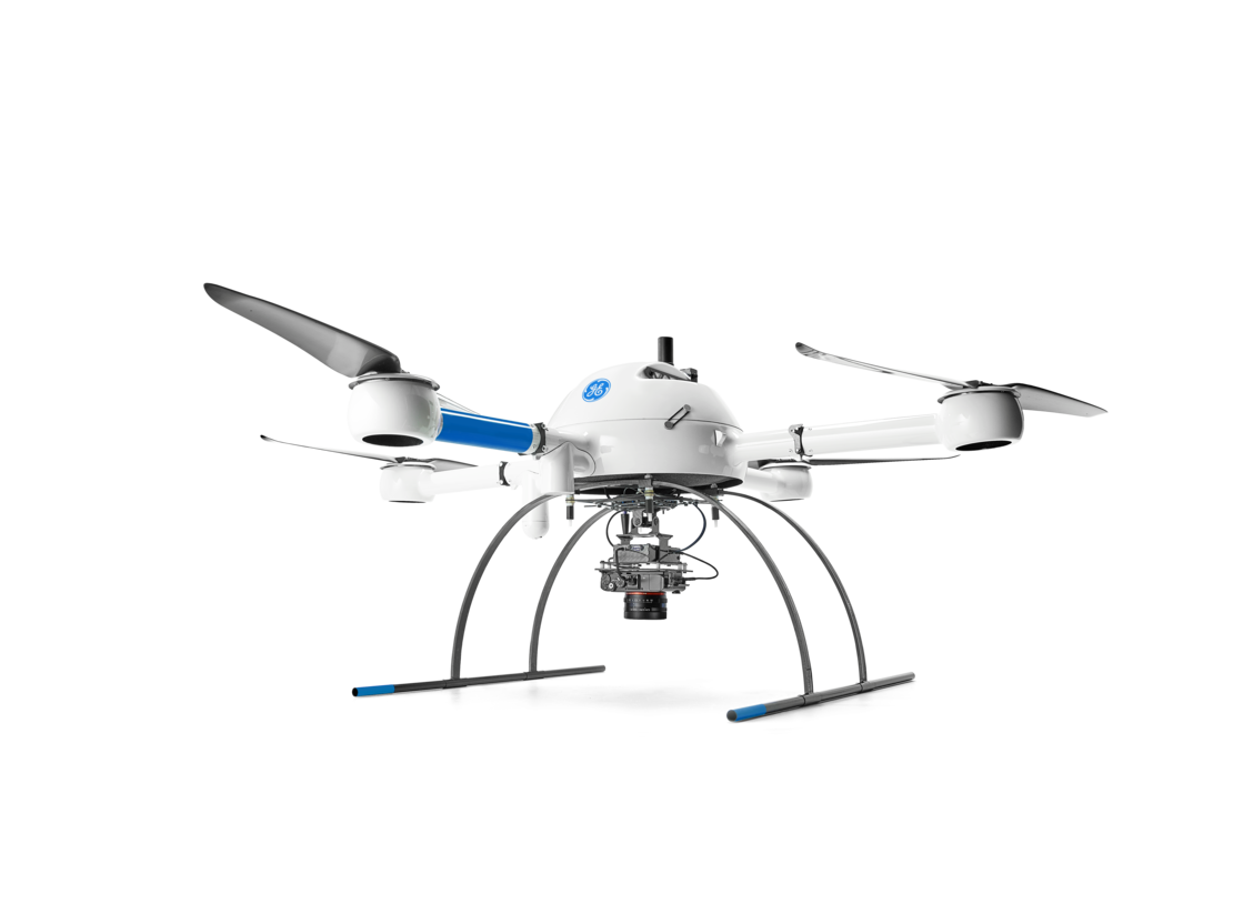
First in the new line is the all-new mdLiDAR1000LR, which features a Velodyne Ultra Puck VLP-32 LiDAR scanner in the payload, hence the LR – long range – designation. The LR also integrates a 26-megapixel CMOS APS-C camera sensor for photogrammetry. The sensor allows the drone to cover more ground, improving upon existing models and providing more efficient project returns for customers. It also has the benefit of running Applanix APX-15 UAV for direct georeferencing.
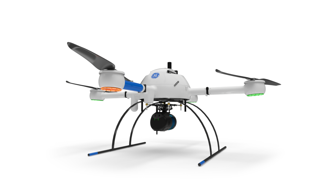
The mdLiDAR1000HR, where the HR means high resolution pointclouds and increased coverage due to the Velodyne PUCK VLP-16 LiDAR scanner, a SONY IMX264 5-megapixel camera integrated for pointcloud colorization, and the previously mentioned Applanix APX-15 UAV for direct georeferencing. This system is ideal for providing high-end accuracy and resolution.
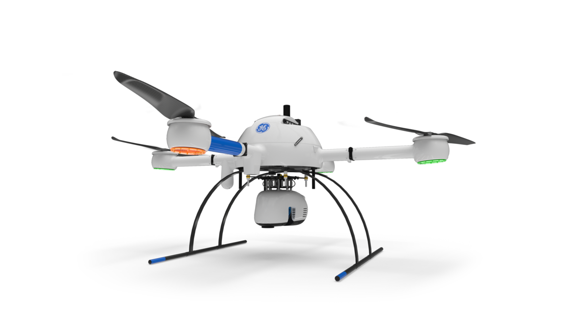
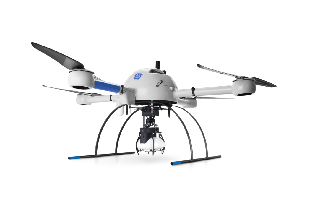
The mdMapper1000 integrated systems are a workhorse series in the GE line that allow for advanced unmanned photogrammetry useful across a wide array of applications. The mdMapper1000DG features a payload with the Sony RX1R II, a 42-megapixel full-frame camera integrated with the Applanix 15 UAV IMU for direct georeferencing. This system also allows for positional data of the sensor only, as it is PPK enabled. Added to that is DG capability, which allows for exterior orientation data of that sensor, giving the readings greater precision.
Included in the mdMapper family is also the mdMapper1000DG 3D, which has a new array of 5 cameras all integrated into one oblique sensor system. The payload features 5 Sony 24-megapixel APC-C sensors: one nadir, four oblique facing front, back, and to each side of the payload. The mdMapper1000DG 3D also features the Applanix APX-15 UAV system, which is PPK and DG enabled. For modeling applications, this is a significant improvement over nadir-only systems imagery.
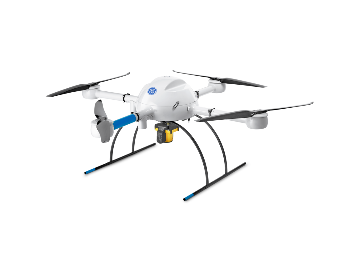
The final system in the GE industrial drone line is the mdTector1000CH4, which is used for inspecting methane gas infrastructure. The mdTector1000CH4 includes a Pergam Laser Methane Falcon sensor for detecting gas at a hundred meters AGL in real time. This is an extremely sensitive unit with capabilities of detecting 50 parts per million from that distance, allowing for accurate map generation and plotting of methane levels post-flight. The baseline is: this UAV keeps the pros inspecting methane gas infrastructure out of harm’s way while they’re doing their job, and does so with no loss of accuracy or quality.
In addition to the sheer capability of the drones, a key component of the GE industrial drone line from Microdrones is the easy-to-follow workflow of “plan, fly, and process and visualize.” These are not standalone drones – Microdrones provide the hardware, software, workflows and training to get the most out of the drones as a surveying tool.
In the planning stage mdCockpit, an Android-based tablet software, is used for flight planning. Customers input height, speed, and other necessary mission criteria to make it easy to plan, monitor, change, and control flights right from the tablet.
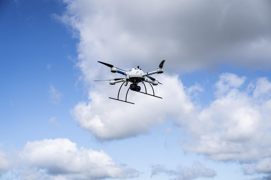
In the flying portion, mdCockpit helps users directly control the flight with either tap and fly or a remote control setup. Flights are monitored in real-time with telemetry, such as speed, heading, and altitude available. A GNSS receiver aids in navigation during automated and manual flight, and the airframe uses a plus configuration for more efficient use. In addition, the brushless motors operate at a low RPM with large props to limit downtime.
The entire system is remote-ID enabled to comply with unmanned traffic management systems identification requirements, and the airframe is rain and heat resistant to manage changing weather – although flying in harsh conditions is not ideal. The GE industrial drone line also features ground-collision avoidance, handled by a small, dedicated LiDAR sensor. Data is transferred via an encrypted digital data link, which provides a secure connection between the user and drone.
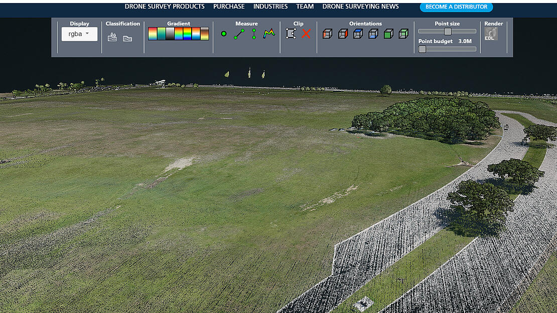
For processing and visualization, mdInfinity is a complete software suite for your aerial data processing of LiDAR and photogrammetry. Available in desktop and online versions, it is tailored to work with the integrated systems from Microdrones. To use mdInfinity, pilots select payload and default settings for that system or apply it to help simplify data processing.
Several data processing modules fine tune data. Boresight calibration is used to remove any boresight bias or minor misalignments in the IMU and the LiDAR scanner. Trajectory Processing allows users to merge GNSS and IMU data and export a smooth best estimate trajectory (sbet), as well as the EO files in the coordinate system. Raw LiDAR data is processed through Georeferencing, which anchors geographic coordinates to every point of your pointcloud.
Strip Adjustment can process and remove errors from the data set by correcting any misalignments between strips. The Precision Enhancement Processing module is used to reduce the noise levels within the data set while preserving irregular features in the data and removing outliers.
Ground Classification is a LiDAR classification routine that identifies the bare earth within the data set to further extract topographic data. Direct Pointcloud Colorization is used to colorize the LiDAR point clouds. FORMap is used to quickly generate orthomosaics or colorize photogrammetric point clouds.
All systems in the GE industrial line are offered with mdInfinity software and available either to purchase or rent, along with per-project or unlimited processing plans. It’s an exciting time for Microdrones, for GE, for existing customers, and certainly for new customers yet to benefit from this partnership.
For more information on the GE industrial drone line, CLICK HERE to speak with one of our helpful representatives.