Drone Surveying Equipment and Software for Education, Science and Academic Research
Make Your Research Vision a Reality with a Microdrones System.
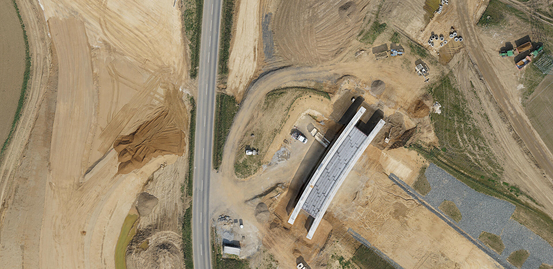
Unmanned aerial vehicles (UAVs) are allowing today’s researchers to achieve feats that previous generations of academics only dreamed about. Researchers around the globe use our drone survey equipment to advance human knowledge as they seek solutions to the world’s greatest problems.
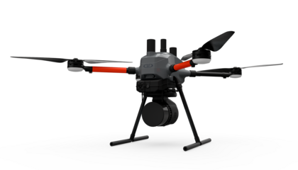
Microdrones UAVs: The Perfect Choice for Research
Why do so many researchers trust Microdrones? There are many reasons, but the two most important are flexibility and performance.
Our highly-versatile drones can be integrated with a wide variety of sensors and equipment, so they can be tailored to meet your specific research needs.
Advanced technology and engineering ensure highly accurate data collection and exceptional performance when faced with harsh environments and conditions.

Researchers who use Microdrones aircraft benefit from:
- Industry-leading flight times – collect more data more quickly.
- Resilience against harsh weather conditions, high voltage, and strong magnetic fields.
- Reduced environmental impact when compared to cars, human access, and traditional aircraft.
- Extremely quiet operation – avoid disturbing wildlife, ruins, and other delicate subjects.
- Easy use – Our UAVs were designed for simple use, so a beginner can usually learn to competently control them with basic training.
- Intuitive software allows you to plan automated flights, monitor flights in real time, easily change or repeat missions in the field, and analyze flight data afterward.
- Versatility/Flexibility – Thanks to its open interface and the values upon which it was developed, Microdrones UAVs can be used in many projects without the need for complex conversions. Microdrones is committed to developing technology that is as customizable as possible, so the solution can be tailored to perfectly meet your requirements.
- LiDAR, Photogrammetry and Advanced Data Processing Modules – Geospatial researchers will appreciate the most advanced georeferencing technology available.
Microdrones drone LiDAR recently helped RSS-Hydro to measure potential flooding areas in the community south of Luxembourg by building a model to optimize the monitoring and detection of areas that could be susceptible to flooding, warn of impending flooding, and find appropriate solutions.
Learning To Fly: Students enrolled in Mohawk Valley Community College’s two-year Remotely Piloted Aircraft Systems Program have the opportunity to fly the Microdrones survey equipment as part of their studies, giving them valuable experience in the field.
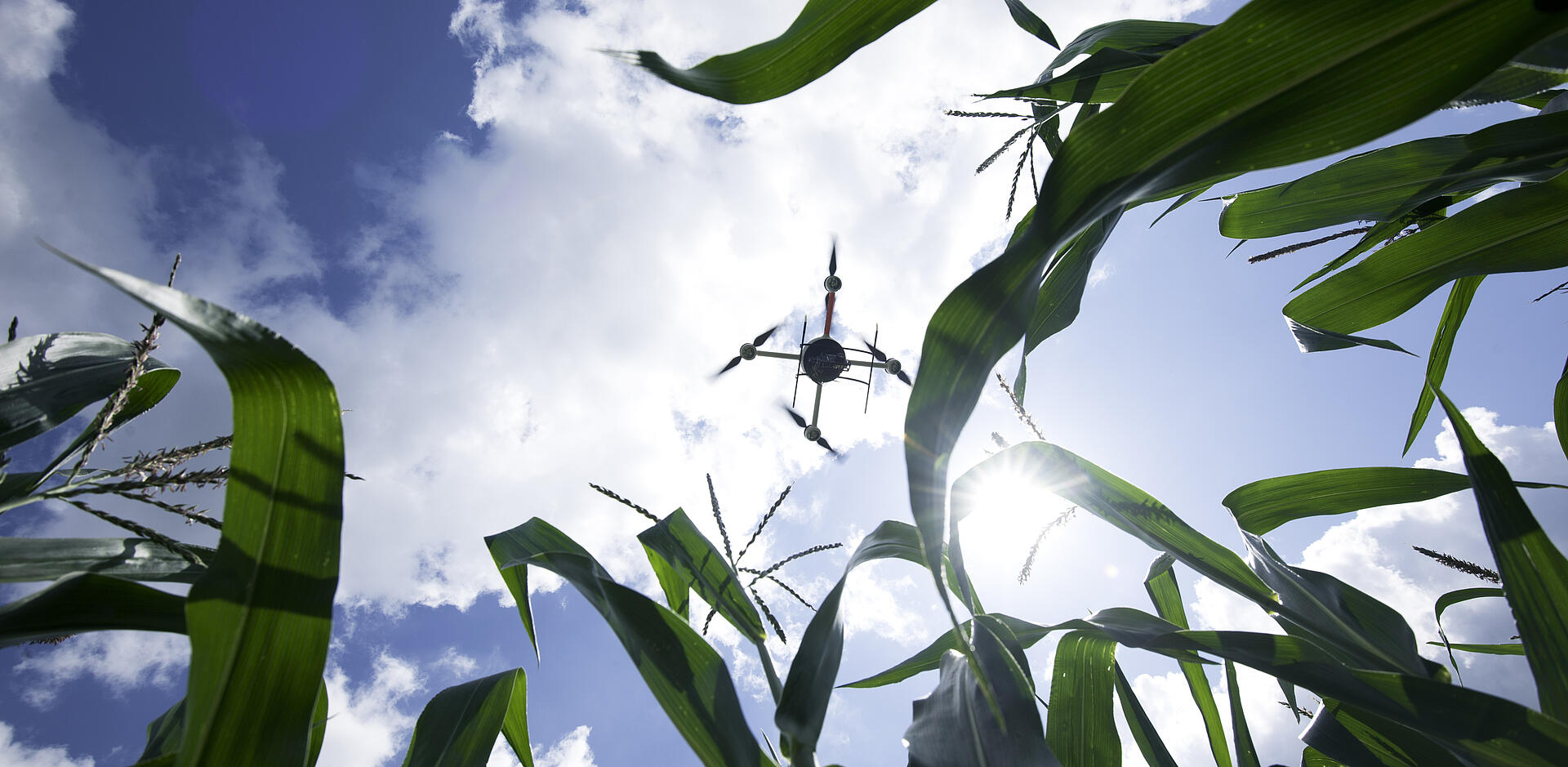
Microdrones is being used for precision farming, to help grow and cultivate new varieties of crops more quickly. KWS is using the mdMapper1000DG over its fields to analyze when to plan seeds and gather precise information on the growth of their plants.
Drones for Academic Research: The Sky’s The Limit
If you can imagine a project that requires aerial data collection, Microdrones can probably help you accomplish it. To find out more, tell us what you’d like to do and a Microdrones UAV expert will answer your questions and provide you with the information you need. Below are just a few examples of research applications for which our drones are being or could be used:
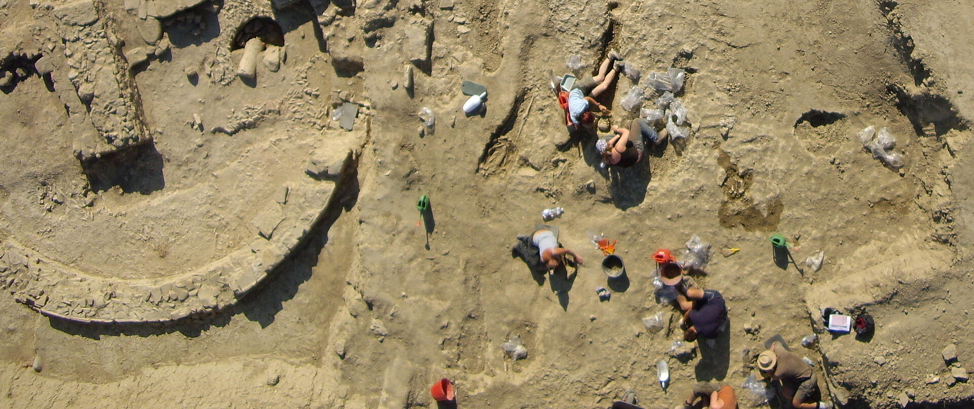
- Archaeological research
- Measuring nuclear contamination
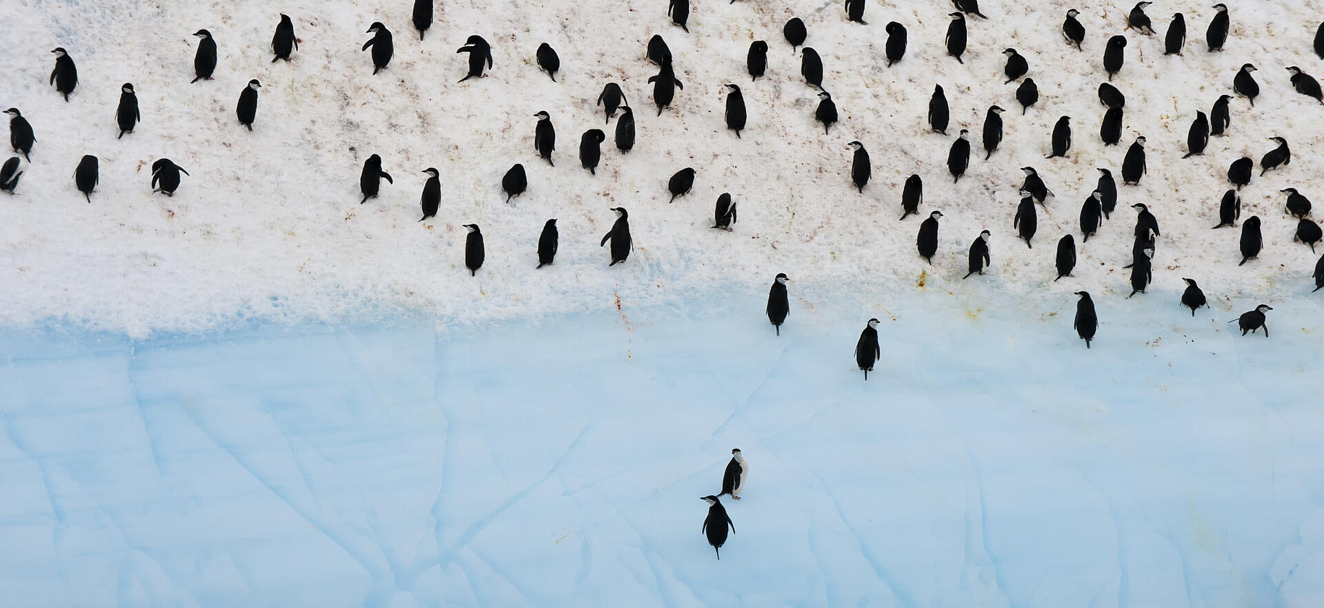
- Studying biodiversity
- Capturing the spread of algae
- Examining coastal regions
- Glacier surveillance
- Ocean & sea research support
- Identification of plant species
- Forestry and Natural Resources Management
- Meteorological research
- Volcanic eruptions – surveillance, tracking & monitoring ash clouds
- Mapping of excavation sites
- Environmental monitoring
- Iceberg monitoring
- Recording salt water infiltration
- Flying over historical buildings and sites
- Photogrammetry
- Climate observation
- Surveillance of sea mammals
- Mapping the movement of sandbars
- Sensor research for RPA
- Radiation measurement
- Arctic research
- Agriculture – mapping plant growth and issues, moisture levels, yields
- Mapping coastal regions
- Geophysical surveying
- Mapping sandbars – measuring
- Counting animal populations
- Radiation monitoring