Propelling: Microdrones Substantial Growth in Australasia
with Syamsul Bahri
Listen to the latest Propelling podcast in the player below, where Bahri shares information and insights into the benefits of the industry-leading products and services from Microdrones for use in mining, surveying, mapping and other fields in the growing Australasia market – and beyond. A summary Is also provided below.
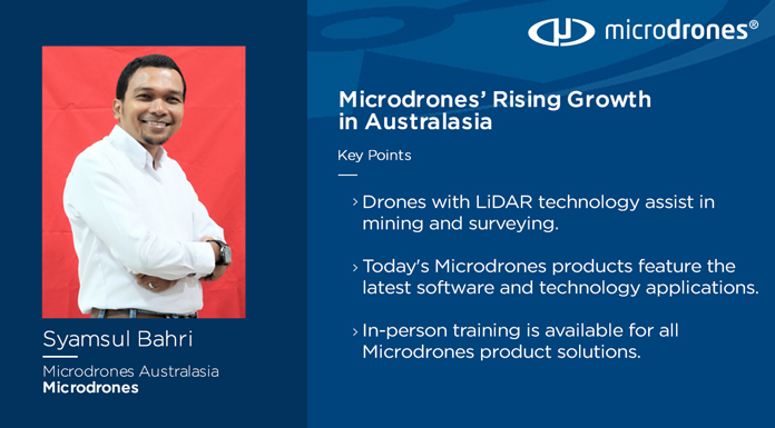
Syamsul Bahri, Australasia regional sales manager for Microdrones, started selling surveying equipment, then working in the mining industry. Bahri knows firsthand how useful drones can be in those businesses.
Now, he works for Microdrones, and Bahri came on Propelling to talk about the substantial growth Microdrones has experienced in the Australasia market since entering the region two years ago.
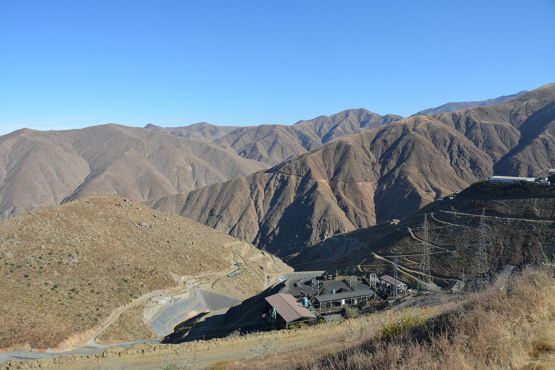
“If we’re talking about mining, specifically, drones are used to capture updates of the mines and use high-resolution photos to take in-depth pictures of the mines,” Bahri said.
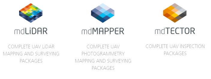
Microdrones is a full solutions-based drone provider, that provides the complete UAV integrated system along with the training and software needed to operate these products successfully. Microdrones offers three families of solutions: mdLiDAR, for producing 3D point clouds optimized for land surveying, construction, oil & gas, and mining applications, mdMapper, a full range of mapping and photogrammetry systems, and mdTector, an integrated aerial methane inspection package.
“What makes Microdrones different today than what they did before is the addition of more and more LiDAR sensors into our product portfolio to cover all the market needs,” Bahri said.
Advances and advantages of technology
Bahri brought eight years of experience selling surveying equipment, followed by another eight as a surveyor of coal mines in Indonesia before coming to work for Microdrones. In his previous job, he was still mainly working with a total station, GPS and laser scanner. He called that time just the “beginning of the era of the drones.”
How things have changed in such a few years. New technologies can provide a lot of help.
“Especially in mining applications, the drone - with the LIDAR technology, as well as photogrammetry with the IMU, is well suited for use in mines,” Bahri said. “When I started working in the industry eight years ago, UAV technology was uncommon. However, advances made in the past five to six years has created demand for drone use, especially in mining.”
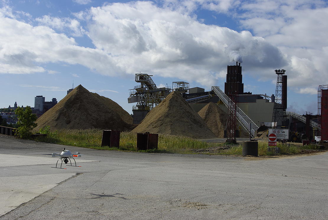
A large open mine area can easily be surveyed by a drone to track progress and perform volume measurements. Bahri said, "Photogrammetry and LIDAR provide highly accurate data that allow a surveyor to easily capture and produce point cloud data in an instant.”
LIDAR technology, which Microdrones integrates into their systems, helps provide more accurate and efficient data, especially as the sensors decrease in size, Bahri said.
“Then with the GPS data gathered from the drones, it allows you to collect more precise data on the trajectory of the drones,” he said. “With direct georeferencing you can fly with fewer or no GCP's and reduce your time spent on post-processing.”
Microdrones products, software and solutions not only produce the pinpoint data, but allow surveyors to measure areas that they may not typically be able to access on their own.
“So, with the drones flying from the higher position, the higher angle allows you to cover more area than traditional surveying with a total station, GPS or a laser scanner. Traditionally, you would only be able to measure an area you could safely walk through,” Bahri said.
“With the Microdrones integrated systems you can cover more area and finish the job much faster," he said. “And of course, by saving lots of time you can save lots of money. With the LIDAR, the IMU and the motion sensor we have, you’ll achieve the highest level of data accuracy currently possible.
This makes the LIDAR technology from Microdrones especially appealing for the mining market. But Bahri also said that Microdrones has demand for its mapping solutions, appealing to police agencies to help analyze a crime scene, or to military personnel needing help to map boundaries. Municipalities also turn to Microdrones for 3D modeling for city planning and to figure out “where to build something, or where to go if they need to do a relocation,” Bahri said.
The Microdrones edge
Microdrones offers integrated systems that can help fill multiple solutions across a variety of needs. Bahri summarized the offerings into three families of solutions:
- mdLiDAR. “This is a package where you can combine the LIDAR sensor together with the drones.”
- mdMapper. “When you have the drones, the photo (capability) and also the IMU on board with the drones.”
- mdTector. “This is where we combine a specific sensor to detect methane gas together with the drones we are flying.”
Some of the biggest improvements from Microdrones have come in the breadth and scope of its LiDAR offerings, with more sensors added into the product portfolio, Bahri said. Gone are the days when one relied on just the IMU and motion sensor for photogrammetry. “Today we are fully ready with the LiDAR solutions to cover all the market needs in the region,” he added.
The relationship doesn’t end once a sale is complete.
A Microdrones package “means that we are not only selling drones, we also package the drones together with the sensor as well as the software. So, the customer will receive all these components, the UAV platform, the sensor, as well as the software package from us,” Bahri said. “Training is part of the package that we are offering to customers. Normally we provide three or four days training at the customer site, just to make sure the customer will be ready to operate our solutions."
“In this case we certify the customer,” he added. “We also provide training and certification for our partners and dealers so they can provide the best customer experience."
Ahead in Australasia
The availability of such comprehensive packages has made Microdrones an appealing option, Bahri said.
“Microdrones is popular in this region because we are offering a completely integrated system as a full solution to the customer,” Bahri said. “It's the complete end-to-end solution for the customer. It's not only the hardware, sensors or software, but we are offering the total package to the customer.”
For instance, a Microdrones customer doesn’t need to turn to a third-party company for software support or training. “In this case it's a customer feeling more comfortable when they deal with one company who provides them everything. It means we can offer them better after-sale support, if all the sensors and all the software come from the same company, like Microdrones,” Bahri said. “This is the key thing that makes Microdrones popular, and I would say, strong in this region.”
A comprehensive, nuts-to-bolts relationship might appeal to first-time customers who feel nervous around new drone technology. Those customers might especially benefit from the multiple layers of training, Bahri said, which starts with a three-day session that goes over basics like drone operation, data collection and data processing.
Learning to fly might be the top concern for new drone operators. Newcomers can get peace of mind with Microdrones because the company certifies pilots to fly the drones after successfully completing training. Microdrones also provides certification for engineers to process data. The systems themselves are backed by a one-year warranty. “So, if the customer is certified from Microdrones and they don't change any configuration from the package, the warranty will cover any defects in the first 12 months not caused by user error,” Bahri explained.
Customers can sign up for a medium-level training course for another three days to discuss more detailed questions and they can take an advanced class for more in-depth instruction about flying as well as data processing.
Promising future
Bahri is excited about the future of Microdrones, as well as drone technology overall. He points to the fields of surveying and mapping as examples of fields taking more to the skies with the use of drones.
“The use of total station and GPS are still common today, in traditional surveying, but drone use is increasing,” Bahri said. “So people on the ground, whether they are surveyors, construction engineers or mining experts, tend to use the laser scanner with a million points-per-second speed to collect the data, and also fly drones with the LIDAR high-grade photogrammetry to get the job done with more efficiency and better accuracy and reliability."
To learn more about using integrating Microdrones into your mining workflow CLICK HERE to speak with one of our helpful representatives.