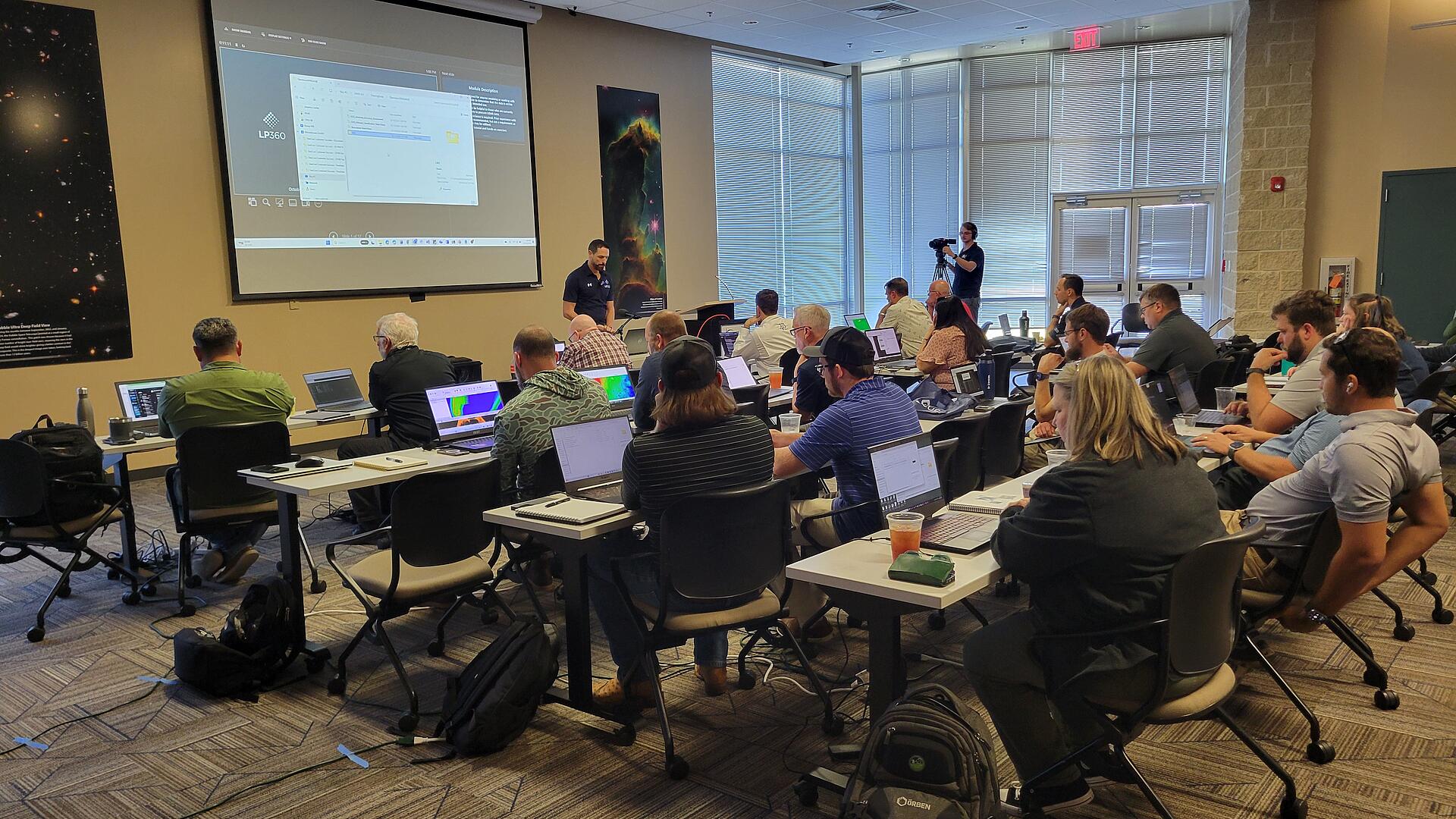
Drones for Surveying /

Take to the Skies with EasyOne LiDAR: Exclusive Financing Now Available

We're excited to announce special low financing rates available now through the end of June. Talk to a LiDAR expert from Microdrones today!
Drones for Surveying /

EasyOne by Microdrones- Compact LiDAR Surveying Equipment Overview

Check out this 15-minute product preview from Geo Week 2024 where Chuck Snow, the southeastern US Regional Sales Manager, gives us an exclusive look at the EasyOne Product Line-up from Microdrones.
Drones for Surveying /

Webinar: What's New in LP360 2024.1

Join us for an informative webinar on the latest updates, features, and highlights from the release of LP360 2024.1
Drones for Surveying /

The LiDAR Magazine Podcast with guest Vivien Hériard-Dubreuil

Vivien Hériard-Dubreuil, co-founder and CEO of mdGroup, discusses the evolution of drone surveying at Microdrones, their subsequent acquisition of GeoCue, recent developments with GeoCue’s LP360...
Drones for Surveying /

Make Your Ground Classification Automatic With LP360 Cloud

In this short video below, Martin Flood will give a brief overview of how you can use Automatic Ground Classification in LP360 Cloud to speed up your data processing workflow.
Drones for Surveying /

Enhancing Drone LiDAR Accuracy with 3D Targets

In this 15-minute Exhibit Hall presentation from Geo Week, Martin Flood, Vice President of Special Projects at GeoCue, reviews Drone LiDAR Accuracy Assessment using 3D targets
Drones for Surveying /

What Makes Drone LiDAR the Best Choice for Surveying in Challenging Terrain

Did you miss our Geo Week Exhibit Hall presentations? Watch it here! Join Chuck Snow, our Eastern US Sales Representative, in this insightful video as he walks through a challenging project utilizing...
Drones for Surveying /

New GeoCue Products and Pricing Webinar Now Available On-Demand

Discover the latest LiDAR advancements in surveying and aerial mapping with the webinar replay of GeoCue's New Products & Pricing 2024 . We'll review our three new TrueView 3D Imaging Systems, updated...
Drones for Surveying /

LiDAR Point Cloud Quality Control: Automating Accuracy and Precision Testing

Learn about LiDAR Point Cloud Quality Control in the February 2024 PE&RS Journal. Authored by experts from our sister company, GeoCue, this article explores automated accuracy and precision testing...
Drones for Surveying /

Explore New GeoCue Products and Pricing in our Next Webinar

Discover the latest LiDAR advancements in surveying and aerial mapping with GeoCue's New Products & Pricing 2024 webinar. We'll review our three new TrueView 3D Imaging Systems, updated pricing, and...
Drones for Surveying /

Boost Productivity with LP360 Cloud: Explore the Power of Automatic Ground Classification

Discover the all-new Automatic Ground Classification feature in LP360 Cloud, transforming geospatial data processing by seamlessly segmenting bare Earth points from objects and vegetation in 3D point...
Drones for Surveying /

Webinar Replay: What's New in LP360 2023.3

Don't worry if you missed our latest webinar! Watch the replay and learn about the latest features and updates in our next informative webinar. We’ll also review some of our latest Cloud Add Ons that...
Drones for Surveying /

Coming to Düsseldorf, Germany: Drone LiDAR Workshop

The Drone Lidar Tour is making its next stop in Düsseldorf, Germany. GeoCue and Microdrones invite you to learn more about drone mapping and software from an expert panel featuring professionals from...
Drones for Surveying /

How to Use the New LandXML Export Feature in LP360

Explore the latest in LP360 3D Photogrammetry and LiDAR Processing Software with our new LandXML Export feature. Watch this video to witness how seamlessly LP360's LandXML Export feature integrates...
Drones for Surveying /

The Drone LiDAR Tour Touches Down in the UK Again This February

Join us for the return of the Drone LiDAR Tour in the UK this February! We’ve partnered with AlphaGeo UK on February 28, 2024, for insights into GeoCue's TrueView 3D Imaging Sensors and Microdrones...
Drones for Surveying /

5 Reasons to Visit GeoCue, Microdrones, and LP360 at GeoWeek 2024

If you’re ready to add Drone LiDAR to your workflow, upgrade your equipment, or improve your geospatial data processing software, then be sure to meet our team at Geo Week, Feb 11th - 13th. This...
Drones for Surveying /

How to Classify Power Lines and Detect Vegetation Encroachment

Learn how LP360 can be a powerful tool for power line inspection by swiftly classifying lines and detecting encroaching vegetation. Its precision in hazard identification and intuitive interface...
Drones for Surveying /

Webinar: Processing LiDAR Data in LP360

Join us for an exclusive webinar, "Processing LiDAR Data in LP360." Discover how LP360 can optimize your LiDAR data processing experience as we demonstrate the latest features, benefits, and show how...
Drones for Surveying /

Maximize Your Geospatial Data Processing: LP360 Tutorials, Training, and Comprehensive Support

Are you looking to harness the full potential of your drone surveying equipment and LP360 LiDAR & photogrammetry 3D point cloud software? GeoCue Training and Support can be the key difference in...
Drones for Surveying /

EXTENDED: Get 3 months of FREE Access to LP360 Cloud and Starter Plan

Take advantage of this special offer to get 3 months of FREE Access to LP360 Cloud and Starter Plan. The all new LP360 Cloud is an ever-growing collection of cloud-based tools and resources that will...